By Frits van der Schaaf – Head of Business Development, Automotive
Today is the beginning of CES (Consumer Electronics Show). The event in Las Vegas draws close to 177,000 atendees and is the world’s largest gathering focused on the business of consumer technologies.
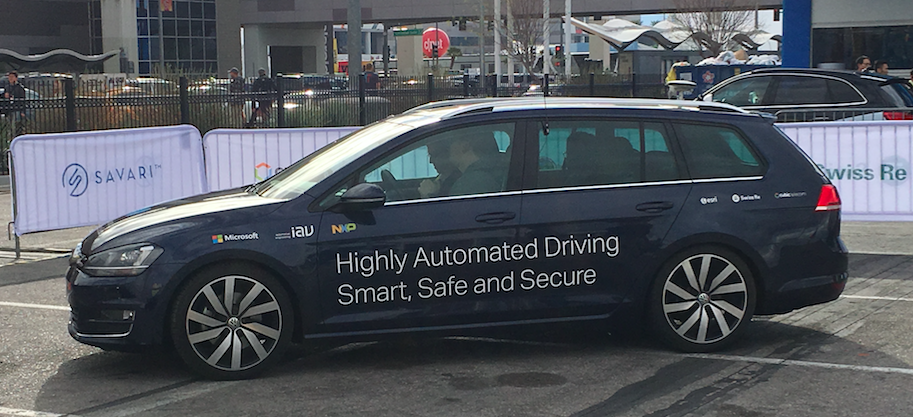
At CES, Esri will join Microsoft’s connected car showcase also including NXP, IAV, Cubic Telecom and Swiss Re to demonstrate the concept of the connected car where cloud, artificial intelligence, mapping and wireless communications provide a personalized in-car driving experience.
While manufacturers continue to add more sophisticated sensors to cars, data platform providers are extending their web platform services. On-board sensors will stream data back and forth between car and platform via the Internet of Things to create some pretty interesting capabilities that will make driving more convenient.
Imagine that you are at work and go online to place an order with the grocery store for ingredients for dinner. When you leave work, your connected car pings the store’s system to let it know that you are on your way. By the time you arrive, a store employee is ready to put the groceries into the trunk.
Geographic information systems (GIS) enrich navigation systems with additional information during the daily commute to help the driver avoid traffic delays and complete the day’s errands efficiently. GIS geospatial capabilities are far more advanced than popular map viewers. For instance, it can predict traffic slowing and proactively calculate a better route. GIS accesses real-time and historical data about the places and times of traffic congestion to determine traffic pattern trends. It can forecast what traffic conditions to expect on a given day, month, or year. This smart routing system will help drivers use less gas and get to work on time.
It won’t be long before connected cars will help commuters plan their day. GIS would record the driver’s habitual routes by day and week, such as dropping off the dry cleaning, taking the kids to soccer practice, and doing the grocery shopping. Based on this data, GIS predictive modeling would create routes tailored to the driver’s routine on a given day.
The more vehicles that connect to a community’s data sharing platform the more efficient the urban transportation system becomes. A connected urban environment could adapt to its citizens’ multimodal transportation needs. It might align traffic patterns with the train schedule as well as route commuters to the right parking spot in order to help them board the train on time.
Connected cities and vehicles benefit the entire community by reducing traffic congestion and pollution while making the individual lives of citizens easier.
If you are attending CES, please stop by our booth to learn more.
WHERE: Booth NP-2, Gold Lot, Las Vegas Convention Center North Plaza—International Consumer Electronics Show
WHEN: January 4–8, 2017, from 9:00 a.m. to 6:00 p.m.
insider