By Adam Jenkins
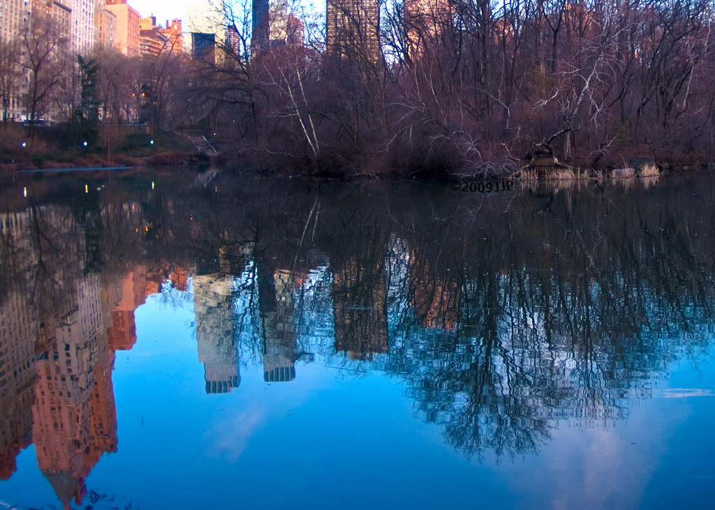
Water is one of the vital sustaining components of all life. We as humans add to, subtract from, and interact with this dynamic, ever changing system on a regular basis. It’s important to maintain the health of the water system, especially where our impact is the most concentrated in areas that matter the most to humans: areas of high population.
Areas where lots of people live are classified as urban areas. And they share several characteristics: besides being full of people, there are also a lot of buildings and infrastructure. Because everyone shares the same relative space, air and water, the environmental impacts are concentrated in smaller areas.
The U.S. Environmental Protection Agency (EPA) is one of many organizations striving to protect this precious resource through efforts like the recent Revitalization grants for America’s Urban Waters and Surrounding Communities. The challenge of protecting Urban Waters needs support from multiple partners and a voice from the public. To initiate involvement, the EPA announced recently that they will host a live twitter event called #UrbanWaters on Thursday October 20th at 10:00am Pacific time, to discuss the topic of Urban Waters across America.
On the EPA Website, former EPA administrator Lisa P. Jackson states: “Right now in cities across the nation, urban waters are being threatened like never before. New and different environmental challenges are appearing everywhere from the Anacostia River in Washington, D.C. to the waterfront in Dubuque, Iowa. The range of challenges we face are going to require both traditional and innovative strategies — and broad partnerships to address the local issues in our communities, and the national issues we all share.”
At Esri we believe in the power of location to make positive changes in the world. Most government data is location-based: think of critical infrastructure, water resources, or natural land. It is all located somewhere.
These tools enhance any government departments’ operational awareness enabling them to more effectively protect precious resources, such as water. GIS helps cities, counties and all local government organizations better understand, manage, and improve their communities, including their water systems. Overall this awareness helps to improve decision making, service delivery, and citizen engagement.
Learn more about location and how it plays an important role in protecting water in urban settings. Explore these Story Maps for some powerful examples of how GIS is helping positively impact the use of Water in Urban Settings, and take part in #UrbanWaters!
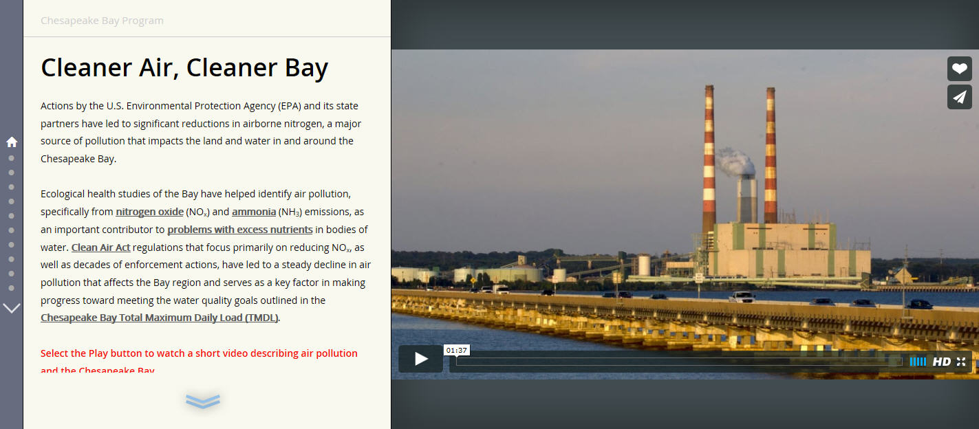
Chesapeake Bay: Cleaner Air, Cleaner Bay StoryMap
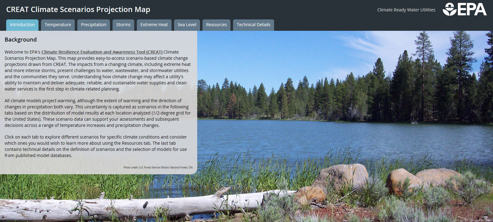
EPA Climate Resilience Evaluation and Awareness Tool (CREAT) Climate Scenarios Projection StoryMap
Bee Branch Watershed Green Alley Program StoryMap

insider