Integrating interactive web maps with other digital content will make “nextgen” textbooks come alive.
Textbooks are changing, and so is the textbook industry, which accounted for almost $14 billion in US sales in 2013. The high cost of printed texts is driving the change. The Student Public Interest Research Group estimates that full-time US college students spend nearly $1,200 per year on textbooks, on average. Mounting public concern about the high cost of education in general, and textbooks in particular, is forcing publishers away from printed books toward a new generation of less expensive digital products. Esri is interested in the future of textbooks because they affect millions of young people every year, and because of the potential to make textbook maps come alive.
In 2013, The Chronicle of Higher Education published an article called The Object Formerly Known as Textbook. The article and others like it report that textbook publishers are actively re-thinking what textbooks, and the textbook business, should be. For years, “textbooks” have been marketed as bundles of content—primarily print, but with digital “ancillaries”—rather than just books. While the re-thinking is still a work in progress, one thing is clear: the mix of digital and print content in next generation or “nextgen” textbooks will flip.
Most of us assume that the digital alternative is an “e-book” that retains much of the look and feel of printed textbooks, but with added features like highlighting and note-taking, links to web resources, and compatibility with mobile devices. Plenty of e-textbook titles are available, including those available from Barnes and Noble for its Yuzu platform, from Amazon.com, and especially Coursemart, which claims to offer access to e-textbooks of more than 90 percent of core content of higher education titles at as little as 60 percent of the cost of print. Other content providers offering digital alternatives include Inkling, Kno.com, and Discovery Education.
However, as Digital Book World observes, “students just aren’t taking to e-textbooks … but they are taking to what higher education publishing insiders call ‘integrated learning systems’” that bring together a variety of resources. A 2013 Educause report observes “once e-textbooks embrace the full capabilities of digital formats, the possibilities are extensive and may even be transformational.”

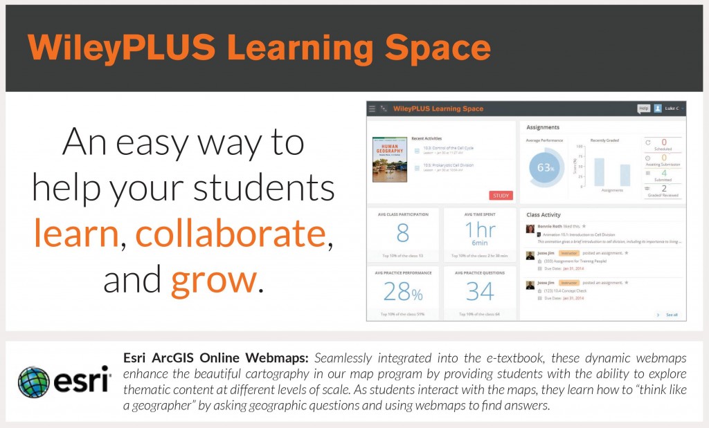
That’s why “the object formerly known as textbook” is beginning to resemble an online course more than an e-book. Leading textbook publishers like McGraw Hill Education (Networks), Houghton Mifflin Harcourt (Dashboards), and John Wiley & Sons (WileyPLUS Learning Space) are all launching their own proprietary learning management systems (LMSs). LMSs typically combine digital content with assessment tools like quizzing, instructor dashboards and grade management tools, course email, and other support for social learning.
Esri sees opportunity to make a difference in these nextgen learning environments by integrating interactive web maps with other digital content. For example, we’re currently working with John Wiley and Sons and partner Maps.com to integrate ArcGIS Online web maps into a forthcoming nextgen text on world regional geography.
The Learning Tools Interoperability specification enables seamless and secure integration of web maps with other LMS functionality. Integration with online quizzing and discussion enables educators to transform maps from mere illustrations to a learning technology that facilitates geographic inquiry. As a result process, we see the potential to help transform geography—as it is commonly misunderstood—from triviality to importance in texts in many subjects, and for many students and teachers.

Changes in the textbook industry will play out over the coming decade. Observers predict that students now in middle school will expect digital alternatives by the time they reach college. Supporting this prediction is the fact that while only 2 to 3 percent of textbooks sales at college bookstores were fully digital in 2010 (according to a survey cited in the Chronicle article), revenues from digital products for K-12 schools increased 46 percent from 2008-10 and 18.4 percent in 2011 alone.
These digital products aren’t just e-texts, and some already include web maps. For example, Maps.com’s Field Trip Library uses story maps to present media-rich narratives for teaching and learning history, geography, science, and popular culture. More digital educational products that integrate web maps will appear this year.
Nextgen students will come to higher education with greater expectations about what maps can and should be. Esri’s contribution to President Obama’s ConnectED initiative is an offer to donate ArcGIS Online subscription accounts to any public, private, or home school in the US, and to provide the curriculum solutions, teacher professional development, and geomentors needed to support meaningful usage in 25,000 schools by 2017. Thousands of pupils every year are discovering that web maps make geography come alive, and they’ll expect even more when they go on to college. We’re urging educators, and especially textbook authors and editors, to have higher expectations too. Geoenabled education is one of the transformative potentials of nextgen textbooks.
insider