This past week (November 7-8, 2012), we held the first and only Esri Oceans Summit at Esri headquarters in Redlands. This was an invitation-only, high-level strategy workshop attended by intermediate to advanced ocean GIS analysts and developers, including many long-time users of Esri software. It was also an important deliverable of our new Oceans GIS Initiative.
More than 50 attendees triumphed over agency travel restrictions, budget cuts, busy schedules, the aftermath of Hurricane Sandy, and other obstacles in order to be here with us at their own expense. They came ready to discuss with more than 40 Esri employees the various GIS functional requirements for ocean science, justification for and validation of such approaches, use cases, and the like. One major goal was for Esri to listen carefully to these attendees in order to help us move forward in our thinking about our approaches and our products to better serve ocean science and resource management. Esri employees came from all parts of the organization: Industry Solutions/Marketing, Core Development, Sales, Professional Services, and more.
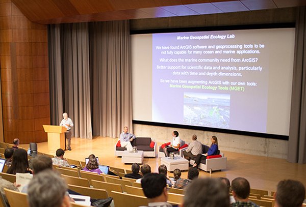
Most of the work of the Summit was done in smaller break-out groups, which provided attendees, Esri and non-Esri alike, with the opportunity to share and discuss their knowledge, perspectives, needs, lessons learned, and/or future visions.
On day one we focused on science themes, with the goal of identifying barriers to the use of GIS in ocean science and management, as well as associated functional requirements, in the following areas:
- Marine Geology and Geophysics
- Physical/Chemical Oceanography/Ocean Observing
- Marine Ecology
- Fisheries Science (including the commercial sector)
- Coastal and Marine Spatial Planning (including human dimensions data and the social sciences)
On day two we focused on technology themes, with an aim toward removal of the barriers in these areas:
- Multidimensional Data Formats (netCDF, HDF, OpenDAP, THREDDS,[1] etc. [this group essentially continued discussions begun at the Esri Scientific Data Formats Summit in February 2012])
- Sensors and Sensor Formats (e.g., multibeam bathymetry, buoys, floats, gliders, remotely-operated vehicles, and submersibles, and satellites)
- 3D/4D
- Analytic Tools, Data Models, and Associated Workflows
- Data Distribution (servers, services, and computing platforms)
Reports from the breakout groups and ensuing discussions were lively and substantive, and thus will go a long way toward defining what the ArcGIS system (i.e., desktop, mobile, online, server, and apps) should mean for the oceans. This has great implications for many other areas of the Earth sciences as well. For example, there was consensus among the attendees that, at a functional level, the capabilities required by the oceans community for the ArcGIS system (e.g., data ingest, visualization, analysis, and sharing) are very similar to those required by the atmospheric community. Esri developers have already received some of these enhancement requests through their support analysts, solution engineers, and account managers. They are aiming at developing both short- and long-term plans to better support our scientific community.

Given the success of the Esri Oceans Summit, plans are underway for an annual Esri Ocean GIS Conference, open to all users, with regular paper sessions and panels, map galleries, and demos, which will serve further to move our long-term strategy forward. Stay tuned for more information on such an event, which will likely be scheduled for November 2013 and beyond.
Notes:
[1] netCDF = network common data format, HDF = hierarchical data format, OpenDAP = Open-source Project for a Network Data Access Protocol, THREDDS = Thematic Real-time Environmental Data Distributed Services