Basemaps are the canvas upon which you paint your data, the foundation that helps you create a map quickly and easily. But unlike the blank canvas an artist might use, ArcGIS Online basemaps also provide context and information that brings your data to life.
ArcGIS Online offers a large selection of ready-to-use hosted basemaps including the Esri World Imagery, Streets and Topographic basemaps, OpenStreetMap, Bing Road, Aerial, and Hybrid basemaps, and specialty basemaps that are designed to automatically sandwich your data between terrain and labels. These can be found and used from the basemap gallery that’s built-in to the ready-to-use ArcGIS Online applications, ArcGIS Desktop, and also the configurable ArcGIS for Flex and ArcGIS for Silverlight applications. The same basemaps are also available to developers via various APIs.
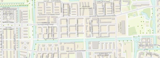
A very popular basemap is the World Topographic basemap, arguably the one that defines an authoritative GIS-sourced basemap with contributions (via the Community Maps Program) from GIS users all across the globe. It’s a highly detailed, multi-scale basemap with many potential uses, and is continually updated. Shown below is new detailed data recently published for Amsterdam.
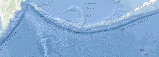
Esri recently announced the availability of the new oceans basemap, now available as a map service via ArcGIS Online.
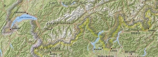
At the Federal User Conference in January of this year the forthcoming National Geographic basemap was announced and previewed, and it was also previewed at the Esri 2011 International User Conference.
While a lot of the interest in these basemaps is literally in the details – the rich and accurate large scale map data they contain – there are many types of applications where less is more when it comes to basemaps. The best basemap may be one that provides less detail, or is understated and does not compete with the primary layer of interest.
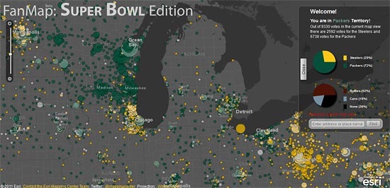
Esri has been evolving basemaps that are more like the blank canvas an artist might use, but still contain geographic context and meaning. An example was the basemap used in FanMap: Super Bowl Edition by Esri’s Mapping Center Team. The map used a dark gray background with fewer details to provide a simpler geographic context for the subject – the Super Bowl Packer and Steeler fans:
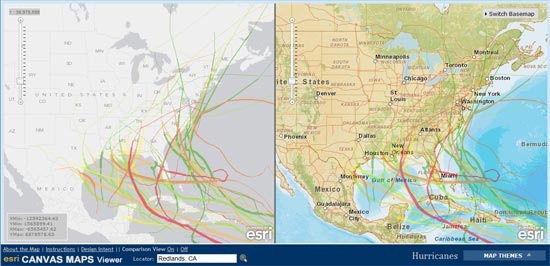
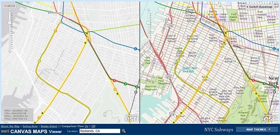
Esri’s mapping and cartography teams continue to evolve different basemaps. Here’s an internal-only application that is being used to evaluate and test a light gray canvas basemap prototype. The app is shown here comparing hurricane tracks with the gray canvas map (on the left) and the world streets basemap (right).
And here’s another example with subway routes in New York:
With lots of great basemaps like these to choose from, you can very quickly create compelling maps suitable for your data, and will be able to use new basemap options in the near future.
insider