displaying
Use # to search tags and @ for authors

By Multiple Authors | ArcGIS Enterprise |
From emergency management to utilities, journey with Mark Sanders of Entergy, as he shares his passion for GIS.

By Emily Garding | ArcGIS Online |
Get more precision while editing in ArcGIS Online using interactive tooltips to set your own editing constraints.

By John Nelson | ArcGIS Pro |
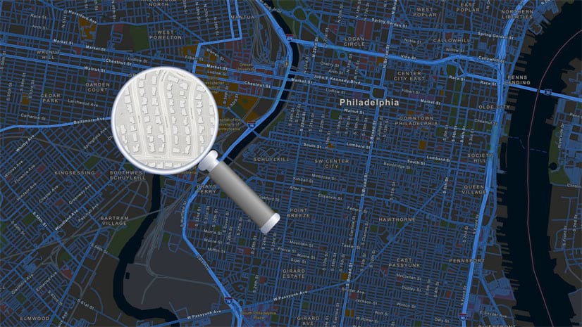
How to configure scale-appropriate contour lines and their labels.
By Bern Szukalski | ArcGIS Online |
By default the ArcGIS World Geocoding Service is the locator used across your organization. Here's how to configure and use a locator view.
By Multiple Authors | ArcGIS Survey123 |
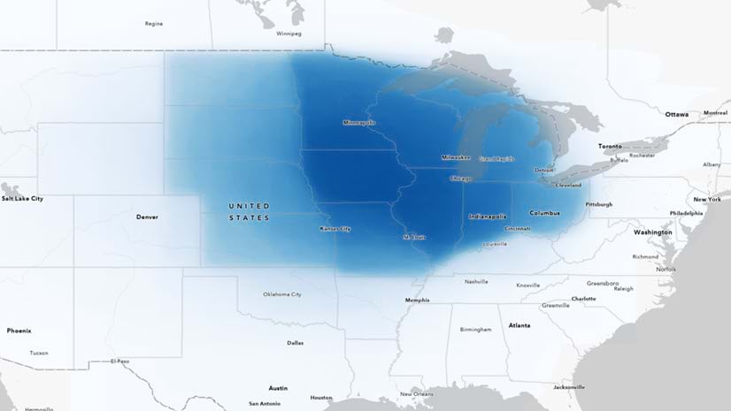
Answering regional geographers' favorite question: Where is the Midwest to you?
By Rajinder Nagi | ArcGIS Living Atlas |
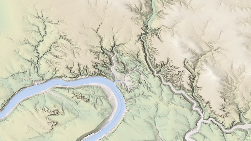
In April 2024, elevation layers have been updated with high-res datasets of Wales, New Zealand & German states of Bavaria, Saxony and Brandenburg

By Multiple Authors | Developers |
Version 200.4 of the ArcGIS Maps SDKs for Native Apps includes support for feature forms, snapping, OGC 3D Tiles, and more!
By Multiple Authors | ArcGIS Maps SDK for Unreal Engine |
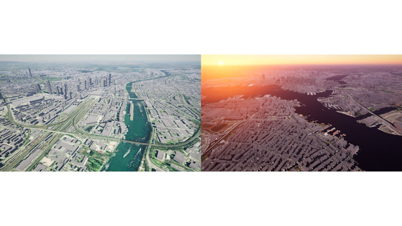
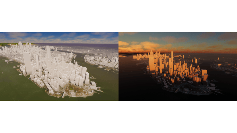
ArcGIS Maps SDK 1.5 for Unreal Engine adds support for Esri's global OSM 3D Buildings layer, group layers, and more!
By Multiple Authors | ArcGIS Maps SDK for Unity |
ArcGIS Maps SDK 1.5 for Unity adds support for Esri's global OSM 3D Buildings layer, group layers, and more!
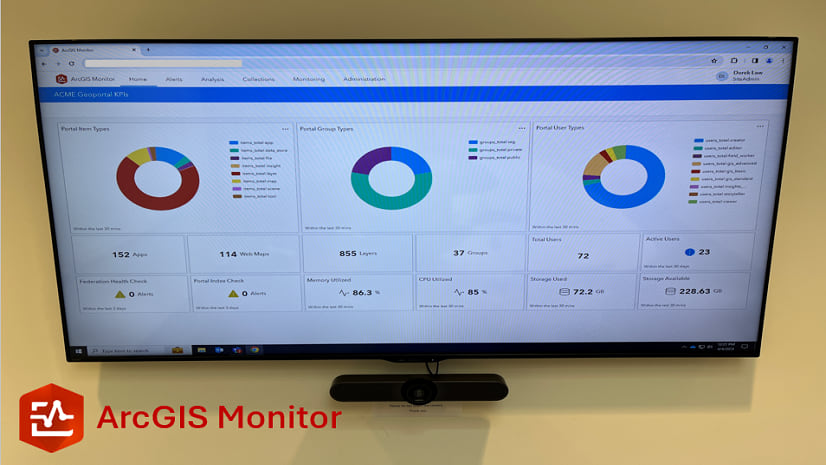
By Multiple Authors | ArcGIS Monitor |
This blog presents six useful indicators that provide insight on Enterprise portal performance metrics.