displaying
Use # to search tags and @ for authors
By Mark Barker | ArcGIS Drone2Map |
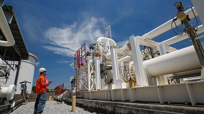
Learn how inspection workflows are used in ArcGIS Drone2Map to monitor assets and assist in decision making.
By Krista Carlson | ArcGIS Pro |
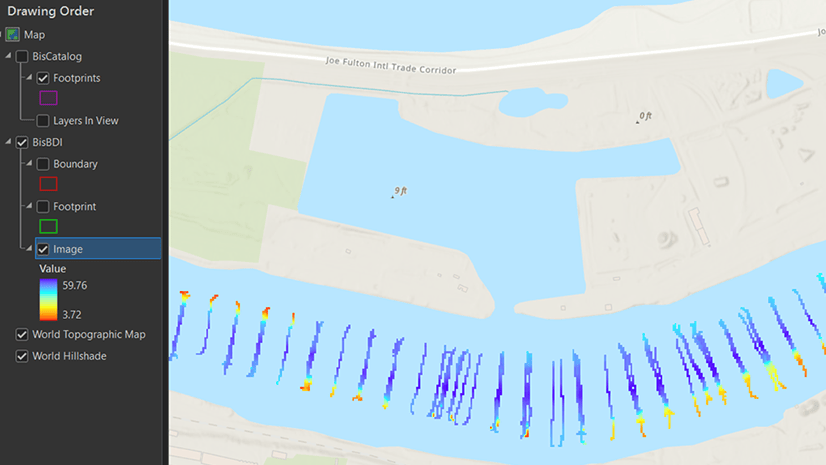
ArcGIS Bathymetry introduces three new tools and enhances Compose Surface capabilities in ArcGIS Pro 3.3

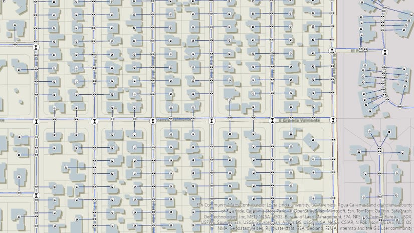
By Multiple Authors | ArcGIS Utility Network |
Learn about the new capability of the utility network to use the digitized direction to perform analysis of stormwater and wastewater networks!
By Multiple Authors | ArcGIS Pro |
Model realistic water flow, share your GIS story, add hyperlinks to your text elements, and so much more with the ArcGIS Pro 3.3 release.

By Multiple Authors | ArcGIS Hub |
Laura Sharp, PhD, shares how to capture residents’ perspectives and unique needs into the City of Tucson's decision-making processes.
By William Hackney | ArcGIS StoryMaps |
Learn about the options available for configuring your web maps and scenes in ArcGIS StoryMaps to make them effective and impactful.

By Dejan Parac | ArcGIS IPS |
Learn what's new in the ArcGIS IPS May 2024 release, explore native GIS support, IPS aware maps and ArcGIS IPS Setup app enhancements.
By Multiple Authors | ArcGIS Hub |
Building local resilience against community challenges means collaborating with your community early.
By Multiple Authors | ArcGIS Utility Network |
2024 Network management release plan for Utilities and Telecom industries

By Thomas Coughlin | ArcGIS Experience Builder |
Group filters are new with the February 2024 update. Available now.