Remi is the Product Manager for the ArcGIS Utility Network and spends his free time exploring the US Southwest desert and California beaches.
Remi is the Product Manager for the ArcGIS Utility Network and spends his free time exploring the US Southwest desert and California beaches.
From emergency management to utilities, journey with Mark Sanders of Entergy, as he shares his passion for GIS.
Go behind the scenes with one of Esri's most knowledgeable software development engineers and leaders on the Geodata Management Team.
Diana Benedict explores her path to GIS via biology and details how Denver Water is using the technology for a lead line replacement project.
Meet Jess Altamira with Esri's GeoExperience Center and find out more about what goes into those impressive stage presentations at conferences.
Dive into the programming and development space with Esri's Hussein Nasser and learn more about what he feels is important for success.
Come along on the geospatial journey of Sarah Alban where she outlines the importance of the human story and experience.
Pilot episode with Remi Myers Product Manager at Esri, to explore how applicable GIS is across so many industries.
A new podcast about the interesting people behind GIS discussing and sharing their geospatial journeys.
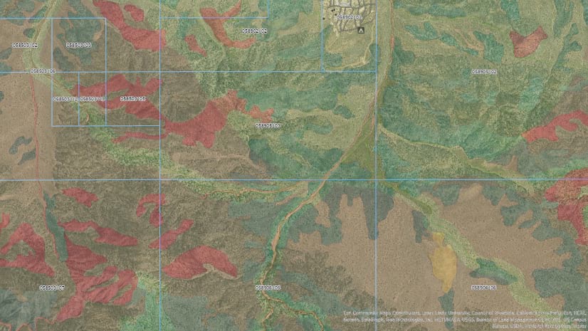
Joshua Tree National Park has a need to organize their land management efforts through the use of web maps.