Jeff Liedtke

Jeff Liedtke is a PE and Documentation Lead for the Raster Team at Esri. He has a background in remote sensing, photogrammetry and image processing. Applying remote sensing techniques to provide valuable information for operational decision support applications is his passion.

Posts by this author
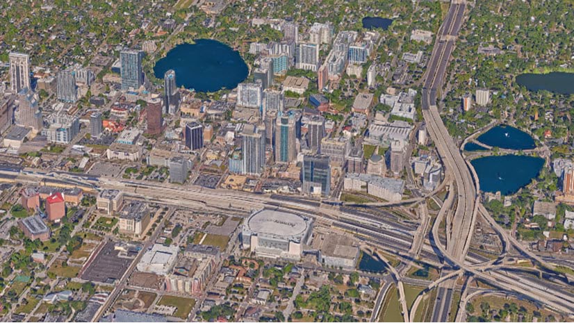
Reality – What is it good for?

ArcGIS Reality for ArcGIS Pro enables countless applications based on current landbase data and information

Continue Reading

The Cloud Eradicator

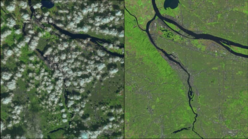
Produce cloud free imagery using the Pixel Editor

Continue Reading

Happy Golden Anniversary, Landsat!

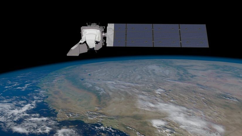
Join Esri in celebrating Landsat’s 50 years of continuous Earth observation. The Landsat program has been transformative to our world.

Continue Reading

ArcGIS Image for ArcGIS Online – Bringing Imagery and GIS analysis together

Esri’s extensive imagery capabilities are available with ArcGIS Image Online. Host, visualize, analyze, manage and share imagery in ArcGIS Online

Continue Reading

Enable ArcGIS Image for ArcGIS Online

Learn how to enable the ArcGIS Image for ArcGIS Online user type extension.

Continue Reading

Seemly Seamlines

Use image color matching tools in the Pixel Editor to create seamless image basemaps

Continue Reading

Pixel Editor: Creating useful classified raster data

The Pixel Editor allows you to merge and reassign class polygons to support land use management operations.

Continue Reading

Improve your image with the Pixel Editor

Use the Pixel Editor to improve your imagery products

Continue Reading

Use raster function templates to assess vegetation for wildlife habitat

This tutorial shows you how to create a raster function template (RFT) to process an image, and save both the RFT and the final results to disk.

Continue Reading

1 2 3