ArcGIS Pro 2.1, the next release of Esri’s flagship 64-bit desktop GIS application, is almost here. ArcGIS Pro 2.1 continues Esri’s mission to provide new and user-requested functionality, the latest innovations for working with 2D and 3D spatial data, tools for performing advanced analytics, and enhanced support across the ArcGIS platform.
Here are just a few of the new features you can look forward to in ArcGIS 2.1:
Enhance Your Work in 3D
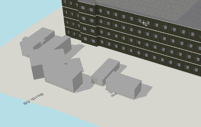
ArcGIS Pro 2.1 brings you many new features to enhance how you work with and analyze 3D data.
- Using the new 3D editing grid, you can precisely edit, snap, and work with your data.
- There are now three modes of interactive 3D exploratory analysis for quick visibility analysis using Line of Sight, Viewshed, and View Dome tools.
- The new stereoscopic mode and isometric views give you new ways of looking at your 3D data.
Generate Table Statistics for Your Attributes
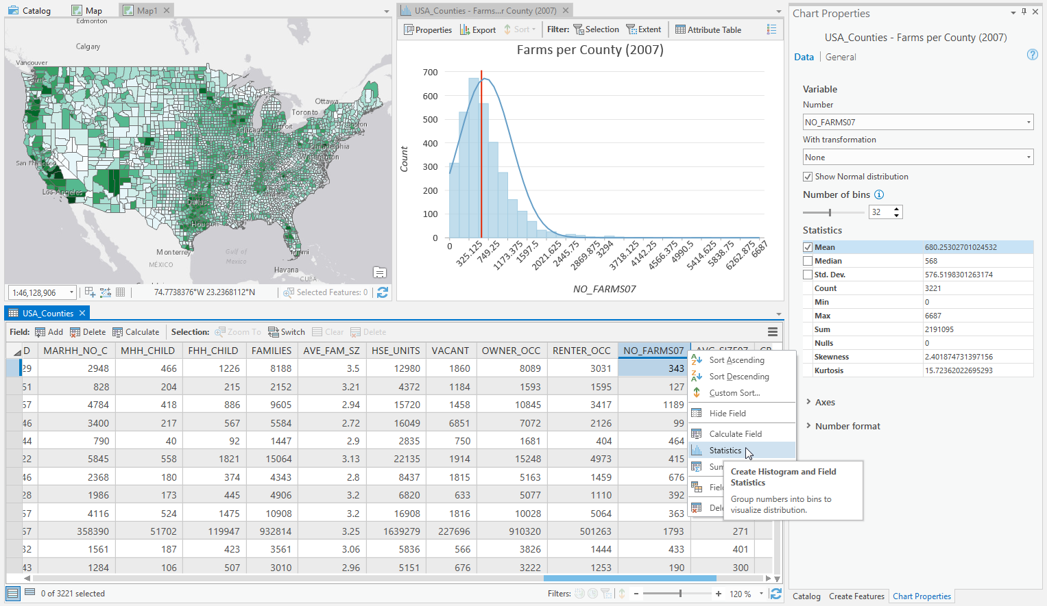
When exploring an attribute table, you can get Statistics describing the values in numeric attribute fields. Statistics include the sum, mean, median, minimum, maximum, and standard deviation of those values. A histogram is also created showing the distribution of the field’s values.
Do More with New Extensions
With the ArcGIS Pro 2.1 release, comes some new extensions designed to enhance your workflows and analysis.
- Business Analyst for ArcGIS Pro helps you gather a variety of marketing analytics, including customer and competitor analysis, and site evaluation to give your business the geographic intelligence edge.
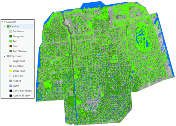
- ArcGIS Image Analyst lets you do more to visualize and analyze imagery in ArcGIS Pro, including stereo mapping, advanced image segmentation and classification, image space analysis, and building custom image processing algorithms.
If you are in the ArcGIS Pro 2.1 Beta, this is your last chance to provide feedback before the release. You can provide feedback by contacting Esri Technical Support or on the Early Adopter Community user forums. You must be a part of the ArcGIS Pro 2.1 Beta to access the forums.


Article Discussion: