You may or may not have studied, or practiced, GIS in an era when you’d be expected to line up two aerial images taken at different angles and hunch over them with a stereoscope to reveal the Victorian-era magic of the third dimension!
My older brother was taking a Central Michigan University remote sensing class in the early 1990s and brought me in to the lab one Saturday to show me the cool 3D glasses they had. Mind blown. A few years later I was in there and we in the class got reasonably good at merging the images visually without the use of the glasses. You can imagine my inflated sense of achievement when the Magic Eye craze swept across malls the world over, and I could find the sailboat, no problem.
Can you Make It Go 3D?
With your eyes 12 – 18 inches away, look “past” the image; your mind will stitch the two views together with a forced perception of depth.
Some of you are about to smile slowly. Others will curse me under their breath…
Did it work? Anyway, make your own and share links to them in the comments. Or comment on this tweet.
How to make it?
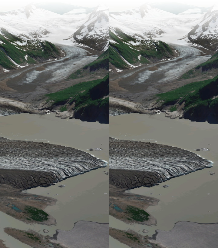
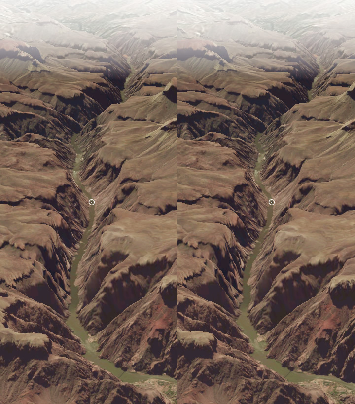
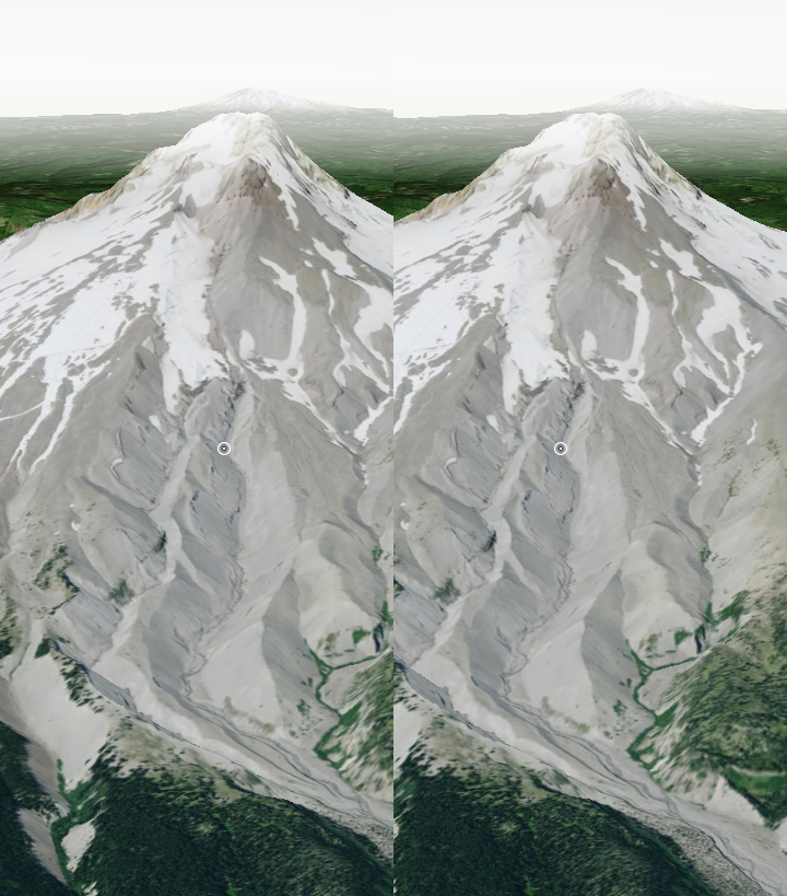
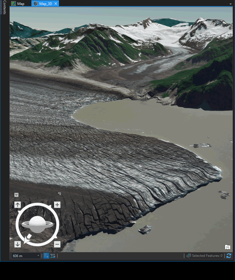
When playing with the On-screen Navigator in ArcGIS Pro 3D, I realized making quick stereopair images was a breeze. Just tweak the rotation a bit and take a couple screenshots. Line them up next to eachother and look all glassy-eyed at them until POW!
It’s literally the easiest thing in the world.
Happy 3D brain hack mapping! John


Article Discussion: