The June 2017 ArcGIS Solutions release introduced some significant new additions to the Stormwater configurations available in ArcGIS. This blog gives an overview of what’s new and what’s changed for stormwater.
Stormwater Inventory and Inspections Configurations
We added a suite of 6 new Stormwater Inventory and Inspection Configurations that support the following field workflows using Collector for ArcGIS and/or Survey123 for ArcGIS:
- BMP Inventory and Inspection
- Culvert Inventory and Inspection
- Inlet Inventory and Inspection
- Manhole Inventory and Inspection
- Open Channel Inventory and Inspection
- Outfall Inventory and Inspection
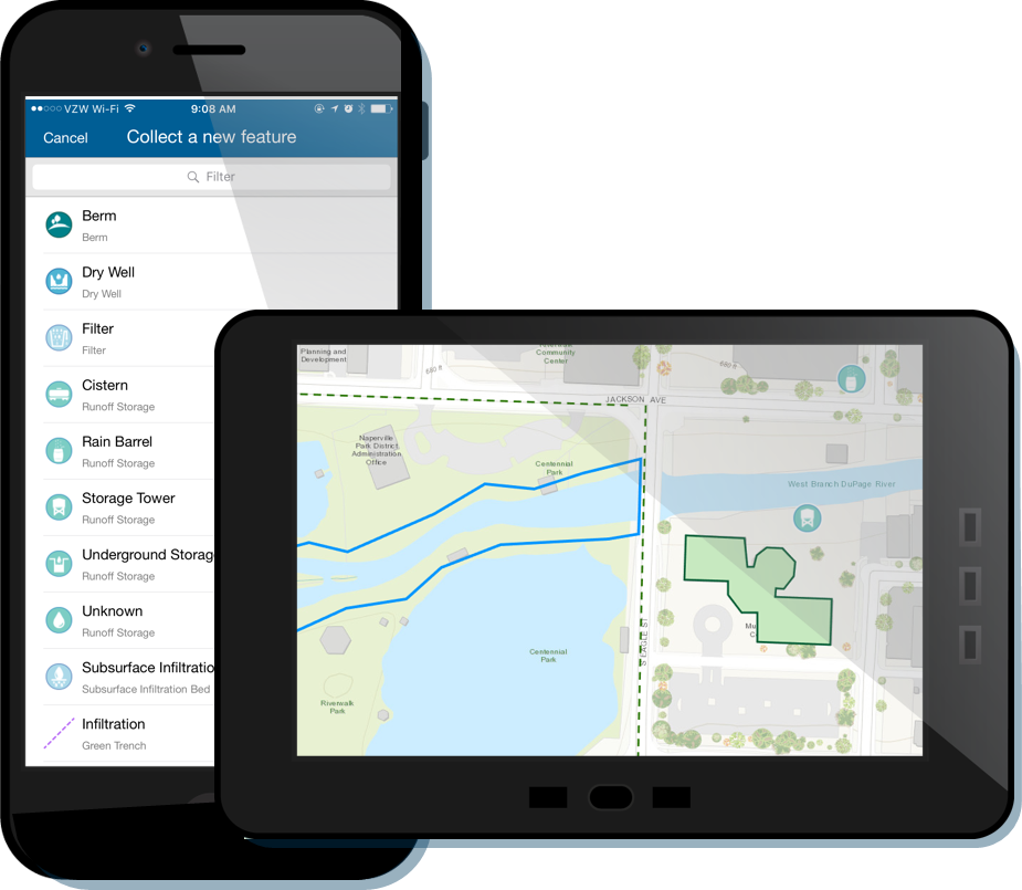
As the names imply, each of these configurations enables field workers to easily capture stormwater assets and quickly inspect assets in the field.
During requirement gathering we heard from many stormwater organizations and consultants that field staff need to be able to easily switch between structured and ad-hoc asset inventories and inspections. We kept hearing stories about staff in the field performing one task, like capturing newly constructed assets or inspecting outfalls, and running across assets that need corrective action, like a damaged private BMP or finding undocumented assets.
We also heard from many municipalities that they still need to field capture their stormwater assets or had partially complete inventories and were still discovering much of the publicly and privately owned man-made and natural assets that comprised their stormwater networks.
This information lead to the conclusion that we had to create stormwater app configurations that support both inventory and inspection. It also drove us to include man-made assets like culverts, natural assets like open channels and Best Management Practices (BMPs) in the information model.
We also heard from stormwater organizations that we needed to provide an information model that helped with the NPDES permit process for Municipal Separate Storm Sewer Systems (MS4s). Due to different state regulations, it would be overly complicated to supply a single all-encompassing stormwater data model that supports the NPDES permit process for the entire United States. During our design process, we researched different state and federal stormwater programs and permits to identify a common core set of information for NPDES permits. While the information model supports regulatory compliance in the United States, we took care to design it for use by international stormwater organizations as well. Of course, you have the flexibility to extend the information model to support your unique regulatory compliance, permitting and asset types.
The information model includes asset specific inspection schemas for culverts, inlets and manholes. The BMP, open channel and outfall inspections use a generic inspection schema that records basic items such as the person performing the work, the day, time, notes, corrective action required or performed and the like.
New Stormwater Viewers and Editors
We also added new Stormwater Viewer and Editor Configurations which include the following:
Web applications
- Stormwater Viewer
- Stormwater Editor
Mobile web applications
- Stormwater Mobile Viewer
- Stormwater Mobile Editor
Survey123 for ArcGIS
- Stormwater Map Change Request

The web and mobile web Viewer applications enable all office, mobile staff and contractors to view and search for stormwater assets. Staff with appropriate permissions can use the web and mobile Editor applications to edit asset information. Staff without permissions to edit assets can use the Stormwater Map Change Request application to submit edit requests.
Deploying the Stormwater Configurations
To simplify deployment, the Stormwater Inventory and Inspection configurations and the Stormwater Viewer and Editor configurations are designed to be automatically provisioned to ArcGIS Online or ArcGIS Enterprise organizations using the ArcGIS Solutions Deployment Tool.
The Deployment Tool provisions all the necessary feature layers, maps, forms and application configurations as group.
Under the Hood
If you’re familiar with ArcGIS for Water Utilities, you may notice a change in how the feature services powering the new stormwater configurations are organized.
Our previous stormwater configurations were deployed with a “mega service” that included all of the stormwater assets comprising the network. We discovered from user feedback that adding new types of assets to the network or adding inspection tables reordered layers in web maps that included the “mega service” and this resulted in broken apps. That feedback drove us to change our deployment approach.
Now a service for each stormwater asset type is created that includes the asset layer and a 1:m relationship to either an asset specific inspection table or a generic inspection table.
The new approach reduces the likelihood of broken maps and apps and provides a more modular deployment. While more services are being created, the effort to deploy the Stormwater configurations has been significantly reduced as the Solution Deployment Tool automates the work for you.
By the end of 2017 we anticipate making the same under the hood enhancements to the feature services powering our water distribution and sewer configurations.


Commenting is not enabled for this article.