The following Land Cover Layers were released last week to the Living Atlas of the World:
NEW LAYERS
- USA NLCD Land Cover 2006
- USA NLCD Land Cover 2011
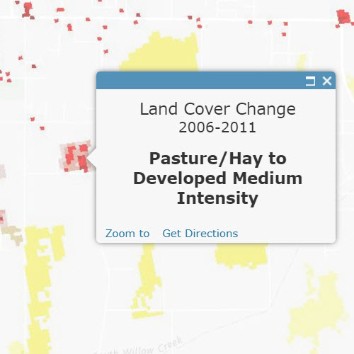
- USA NLCD Land Cover Change 2006-2011
- USA NLCD Impervious Surface 2011
- USA NLCD Impervious Surface Change 2006-2011
- USA NLCD Tree Canopy Cover 2011
 These layers reflect the most recent data from the National Land Cover Database (NLCD), updated in February 2016. The new layers have coverage in the contiguous United States, and some have additional coverage in Puerto Rico, US Virgin Islands ad some parts of Alaska. Please use the new layers instead of the following Mature Support layers:
MATURE SUPPORT LAYERS
- USA NLCD 2006 (Mature Support)
- USA NLCD Land Cover 2011 (Mature Support)
- USA NLCD Land Cover Change 2006-2011 (Mature Support)
- USA NLCD Landscape (Mature Support)
- USA NLCD Impervious Surfaces 2011 (Mature Support)
- USA NLCD Impervious Change 2006-2011 (Mature Support)
- USA NLCD Tree Canopy Cover 2011 (Mature Support)
The new layers feature updated cartography and data and are suitable for analytical operations across the platform.


Article Discussion: