At the 2017 Esri User Conference, Ken Field will dazzle you with an array of beautiful techniques and examples of Relief Representation. I’ll be there, too, as the peanut gallery, tossing in strange, maybe useful, sometimes ridiculous, examples of Digital Elevation Model hacks. These may or may not include…
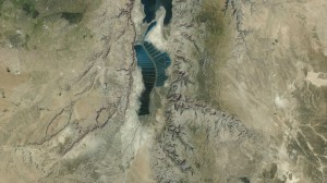
Bumpified Imagery
.
Fake Plastic Maps
.
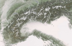
Misty Mountains
.
Hacking a Sunrise
.
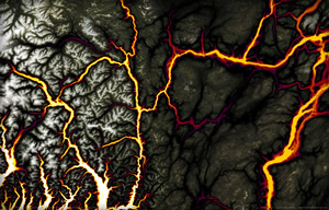
Brimstone
.
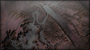
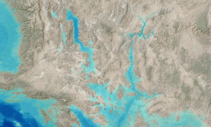
Hypothetical Depths
.
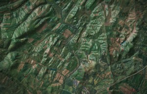
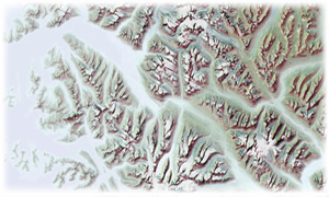
Painterliness
Come join us! Free high-fives from Ken for the first 10 attendees.
Hope to see you there. John
About the author

I have far too much fun looking for ways to understand and present data visually, hopefully driving product strategy and engaging users. I work in the ArcGIS Living Atlas team at Esri, pushing and pulling data in all sorts of absurd ways and then sharing the process. I also design user experiences for maps and apps.
When I'm not doing those things, I'm chasing around toddlers and wrangling chickens, and generally getting into other ad-hoc adventures. Life is good.
You might also like these Styles for ArcGIS Pro: esriurl.com/nelsonstyles
Article Discussion: