Well, you missed a good GeoDev Meetup this week in D.C.
The GeoDev team headed out from New York and arrived in D.C. on Tuesday, October 11th. We had a special treat this time around in that the Esri R&D Center from Arlington came out to support us. Andrew Turner and his team shared quite a few varied topics that were sure to wow the D.C. developer community.
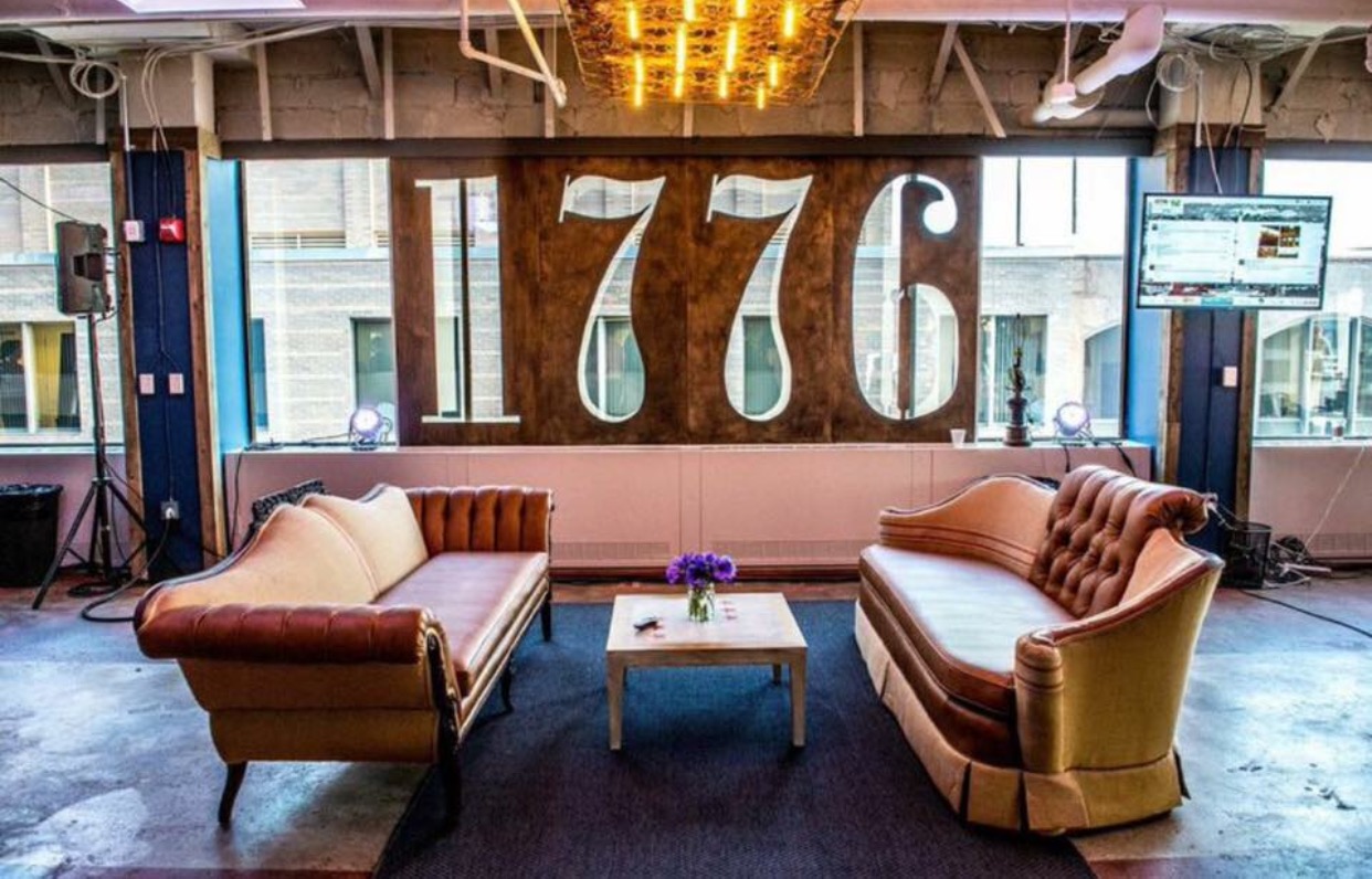 Once again we held our event at 1776. We have held all of our D.C. meetups in the past couple of years at this venue; it’s a great space with room for our guests to mingle, eat, and drink. A unique side-effect of hosting our event at 1776 are the many startups and privately owned businesses who use this incubator and end up attending our meetup just because they’re already there and are intrigued. This included some interest from mapper.ai, MosCreative, and MindRight. A number of people who came by were walk-ins and heard about the event either from being at 1776 or from others who were attending or sent them the Meetup invite.
As always, we start off the meetup with a social hour. This is where our attendees get to meet our emcee for this meetup, Nick Furness (@geeknixta), the crew from the Esri R&D Center, and their peers from the community. We had developers from Blue Raster, Booz|Allen|Hamilton, Habitat for Humanity, and World Wildlife Fund in attendance. During this time, there’s mingling, there’s name badge reading, and there’s some business card swapping. Every now and again, there’ll be a small meeting in the corner where collaborative ideas get scribbled on appetizer napkins.
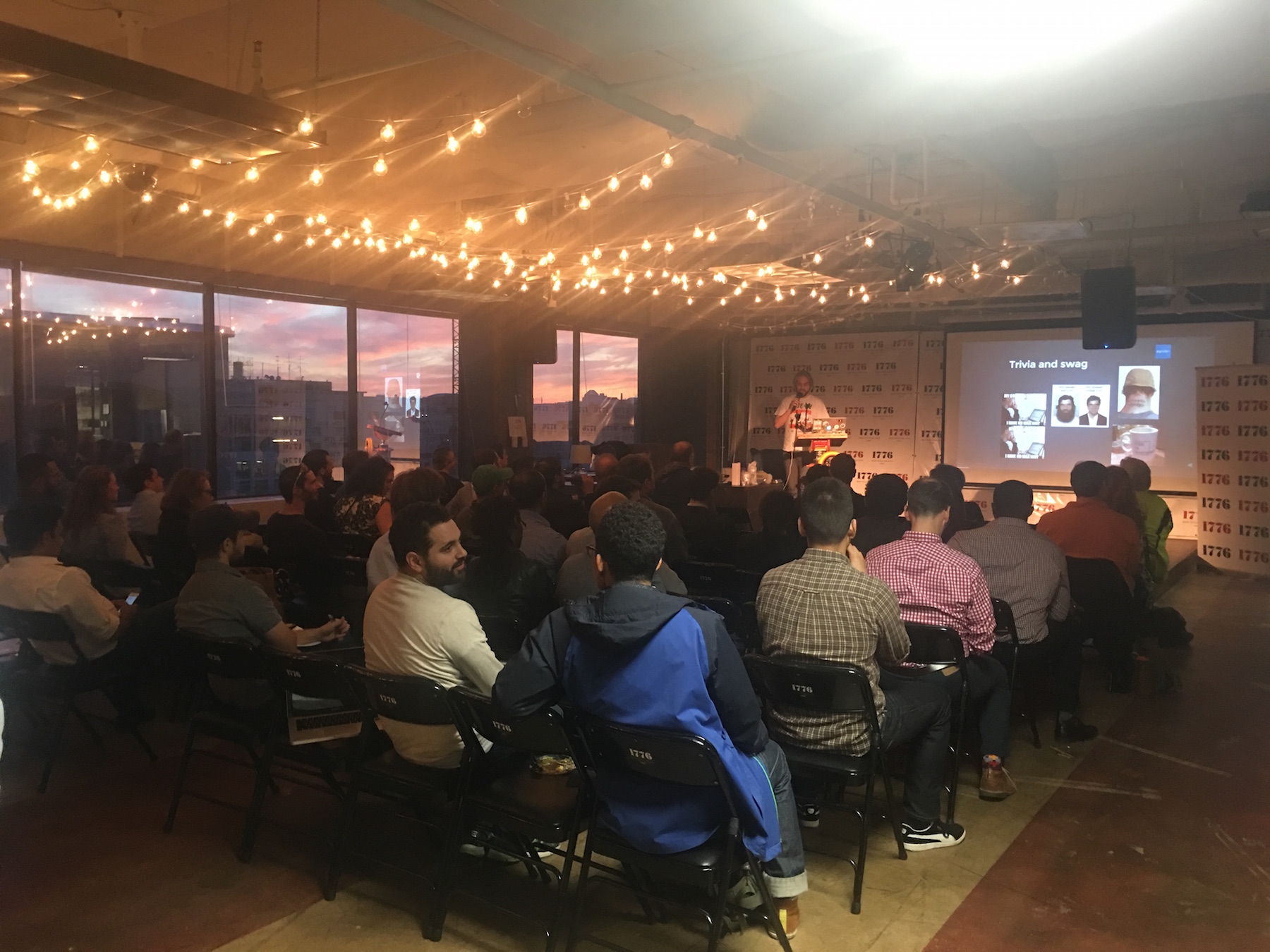 After everyone got settled in, Nick kicked off the main event, announcing that we had over 130 RSVPs, which was probably the most we have had in the past two years. He continued by sharing more about what the GeoDev team does, highlighting our Developer Summit conferences coming up in Berlin, Palm Springs, and D.C., as well as our GitHub repository at esri.github.io. After the intro, he shared some fun trivia for swag giveaways, which always includes a “Jack hat”, similar to the one Jack loves wearing around campus. People loved that fact. As a final treat, Nick introduced the lineup of speakers for the evening:
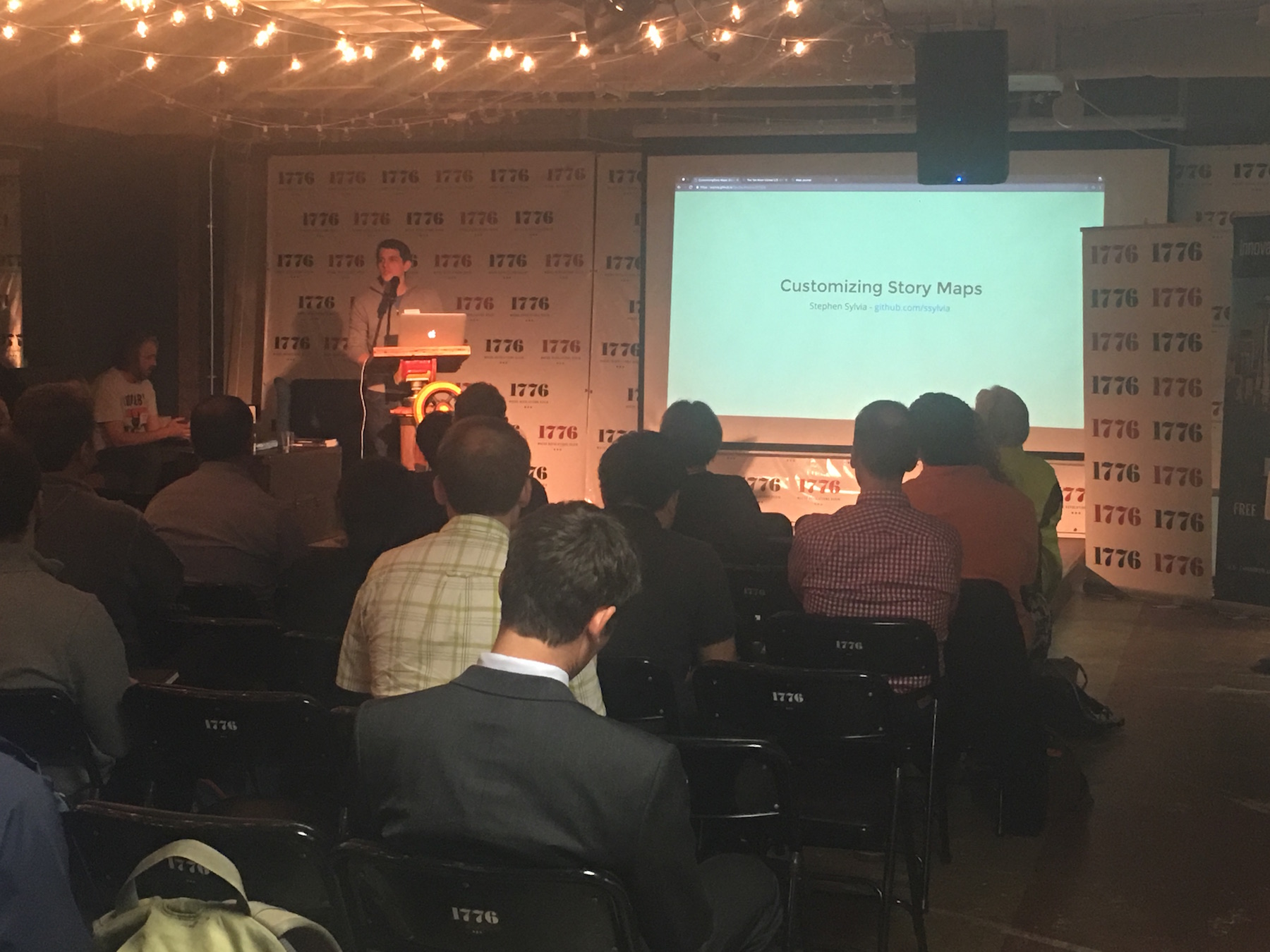
Stephen Sylvia (@ssylviageo) presented “Customizing Story Maps”. He took time to introduce Story Maps, what they are and how to customize them. He did some live-coding that covered how to add context to a story map journal with an index map. He also plugged some open JavaScript positions at the R&D Center.
 Markham Shofner (@markhamshofner) presented “Shared Themes”, how Esri is working on allowing applications to style themselves according to reusable theme specifications stored in an ArcGIS Online organization. He used the ArcGIS Local Perspective Template to show off these up-coming capabilities.
Marvin Perry (@technoledger) presented “Python API with some Open-Source Script Examples”. He showed an example of iPython Notebook that leverages Esri’s new Python API to allow an administrator to query their organization to check the license information for every item and update it as necessary.
Andrew Turner (@ajturner) covered “Cedar Charts”, an open source extension of the Vega charting library that ties into ArcGIS, stressing the importance of charts in mapping. Learning how to understand the data through charts can help us as developers: comparing, sorting, filtering, highlighting, aggregating, and re-expressing. He also touched on the anatomy of a chart, including data, scales, axes, marks, and legends.
Courtney Claessens (@sidewalkballet) presented “Insightful R Analysis”, which covered the VisionZero initiative to rid traffic collision deaths in the D.C. area by 2024. She includes collision graphs and accident maps to show the numbers and where they’re headed.
After the Esri R&D Center presented, Nick segued into a lightning talk we had from the community. Scott Kaiser (@coolclimatedude) presented, “Applications of GIS to Implement Agriculture Best Management Practices” in which he suggests ways we can improve the way we manage our water resources based on data collection. Scott didn’t realize it, but we really did save the best for last.
After the lightning talk, Nick ran through one of the most exciting parts of the evening: the DevSummit seat raffle. At the end of every GeoDev Meetup, we offer one very lucky attendee, (who has to be present!) a complimentary seat to one of our DevSummit events. By happy coincidence, the winner was our very own Scott Kaiser! We can’t wait to see him at DevSummit DC!
It was a great event! Everyone seemed to enjoy their time, and we were able to close out the evening with some great developer connections and a warm welcome to return to DC again! We hope to come back by the end of the year, so please follow our Meetup.com page for Northeast regional GeoDev events coming to an area near you!


Article Discussion: