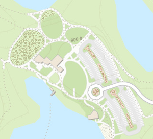
 The Community Maps Program was recently featured in a post by Dakota County, Minnesota. As part of their open data policy, Dakota County contributed data to the Community Maps Program. Their data has been published in Esri’s basemaps as part of the Living Atlas of the World. Now the basemaps have authoritative data for their area of interest, and the county is moving towards no longer needing to host their own basemaps. The web maps and apps that consume these basemaps have benefited thanks to the county’s contribution.
Read the full blog post here.


Commenting is not enabled for this article.