 By Kenneth Field, Senior Cartographic Product Engineer.
Prior to User Conference in 2015 we released a sample toolbox called Terrain Tools (original announcement here) that included a dozen or so tools to create beautiful, artistic terrain representations. It’s been downloaded nearly 8,000 times this past year. We’ve just released v1.1 which includes a number of bug fixes, for which we’re grateful to the community for giving the feedback that has helped improve their stability. We’re also delighted to announce the inclusion of a new tool called Plan Oblique.
Plan Oblique is based on algorithms created by Bernie Jenny (RMIT University, Melbourne) which shear terrain in the y direction to give a 3D appearance to the map. This is a technique that can be traced back to Xaver Imfeld in his classic 1887 Reliefkarte der Centralschweiz. We’re delighted Bernie has helped us develop this tool for use in ArcGIS and also to Bojan Šavrič (Esri) who coded the new tool.
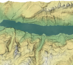
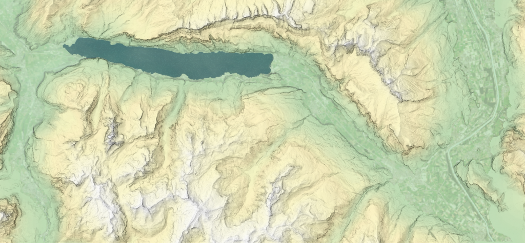
Here you can see a hypsometrically tinted and hillshaded example of terrain for the Wallensee region in Switzerland.
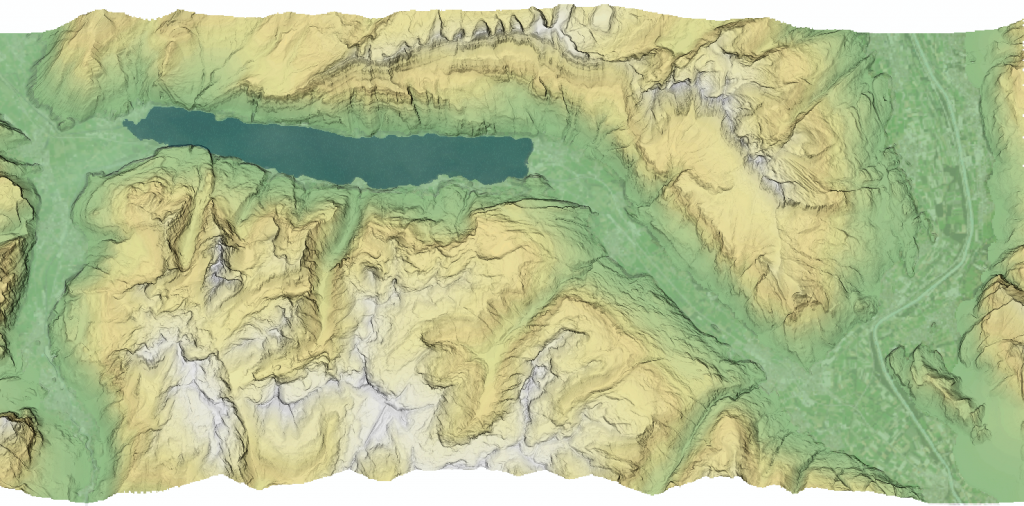
And here is the Plan Oblique version which retains the same planimetric dimensions yet has the sheared terrain in the y direction.
The technique can be used to bring a different perspective to your maps. We hope you enjoy experimenting. You can see a full tour of the Terrain Tools and the possibilities they provide for rich and beautiful relief representation in this Story Map Tour.
The updated Terrain Tools can be downloaded from ArcGIS Online here. Full documentation and sample datasets are included.
If you’re headed to San Diego for the 2016 User Conference we’ve got a couple of sessions on the Terrain Tools with special guest Patrick Kennelly (Long Island University) joining me to run through the tools and techniques. Patrick is behind the research for many of the Terrain Tools and helped develop them for the original release. Come and join us for some light cartographic relief (representation)!


Article Discussion: