Note: This blog covers the classic Esri Story Maps. Story authors are encouraged to use the new ArcGIS StoryMaps to create stories; however, Esri will continue to maintain the classic templates for your use. For more information, see the Product road map.
 Esri is excited to introduce Story Map Cascade—a new storytelling app included in the June 2016 release of ArcGIS Online. Like other storytelling apps, Cascade lets you combine your narrative with maps, images, video, and other web content.
Where Story Map Cascade differs from other Esri Story Map apps is the full-page, immersive experience it provides for your readers as they scroll through your story. It is also the first Esri Story Map app to natively support 3D maps. We think it will be a game-changer for map-based stories and will help you take your storytelling to the next level!
This immersive, scrolling format gives you new opportunities to build stories that are highly polished, approaching or matching in quality the best custom narratives anywhere on the web—with the added advantage of integrated 2D and 3D maps that tap the full power of ArcGIS.
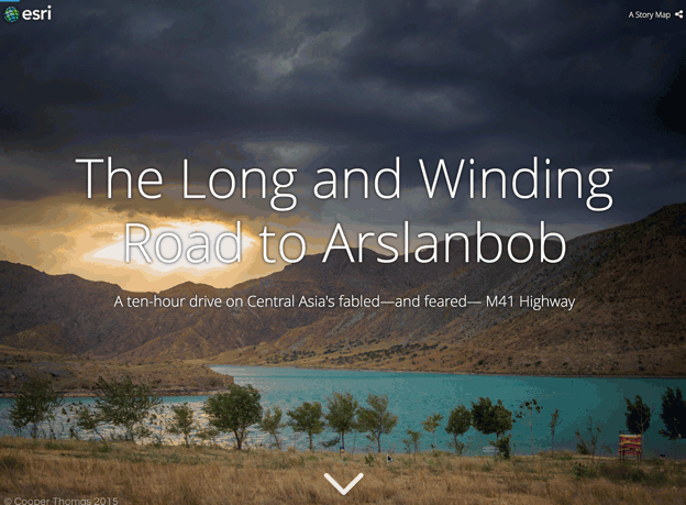
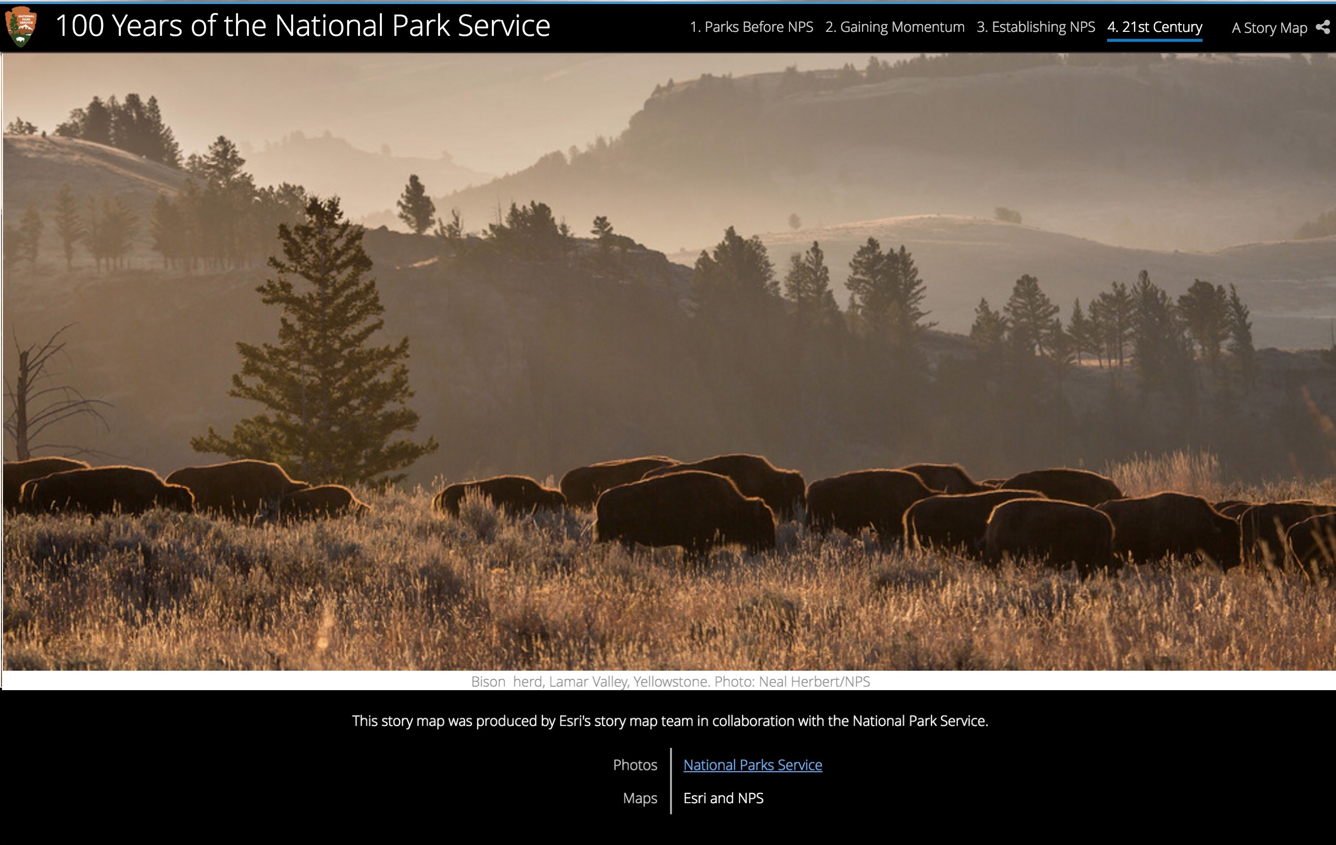
Visit the Story Maps gallery to experience some of the great Cascade stories people have already created.
Cascade is currently in beta, so please connect with us on GeoNet to give us your feedback on how to improve it. Stay tuned for future updates, as we’ll be adding new features that further enrich Cascade’s storytelling capabilities.
To get started building a Cascade story just head over to the Story Maps website and click Build a Cascade Story.
Anatomy of a Cascade story
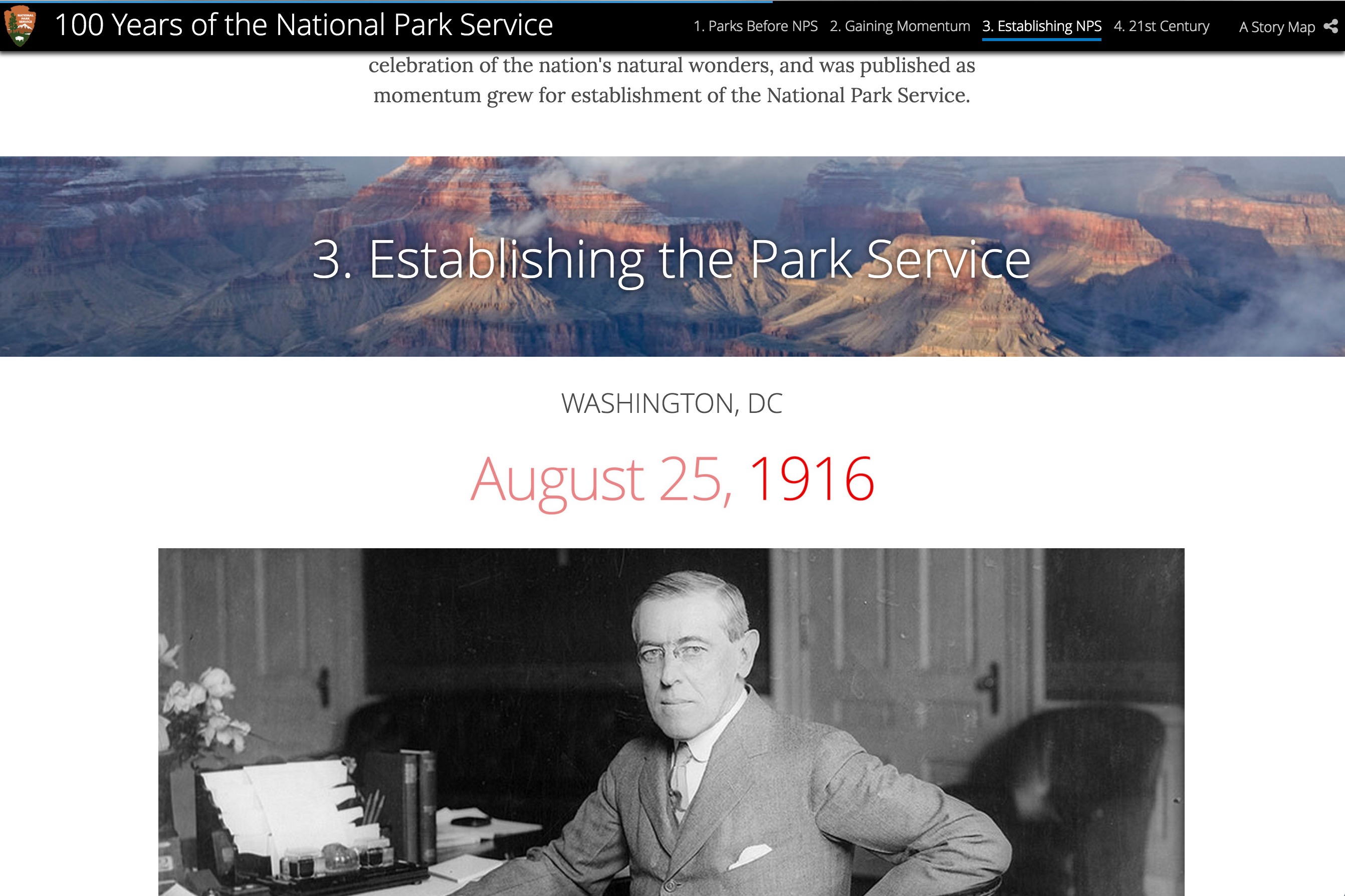
A Cascade story is made up of sections, of which there are two main types: narrative and immersive. Narrative sections, not surprisingly, focus on your narrative and are composed of paragraphs of text supplemented with in-line media.

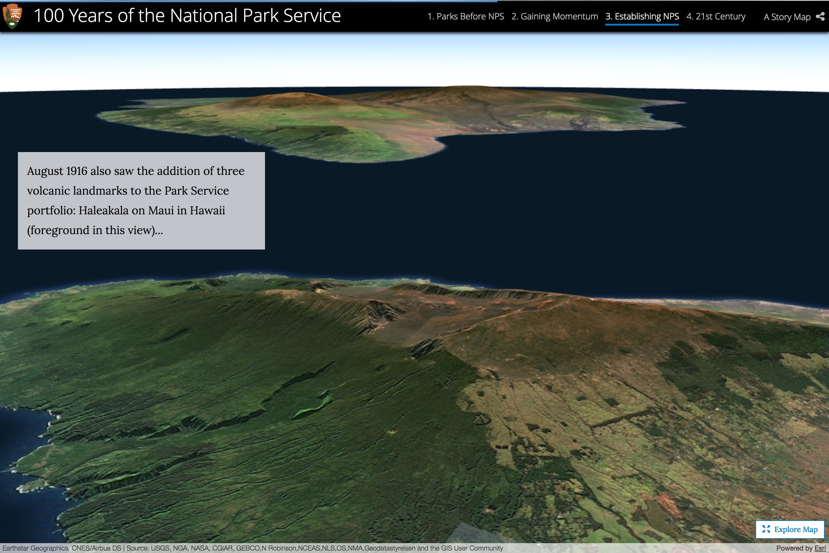
Immersive sections reverse this emphasis and showcase your media by filling the window with it while adding floating panels that present shorter snippets of narrative. Immersive sections are composed of a series of views. As readers scroll through your story, each view is revealed using a transition, such as fade or swipe.
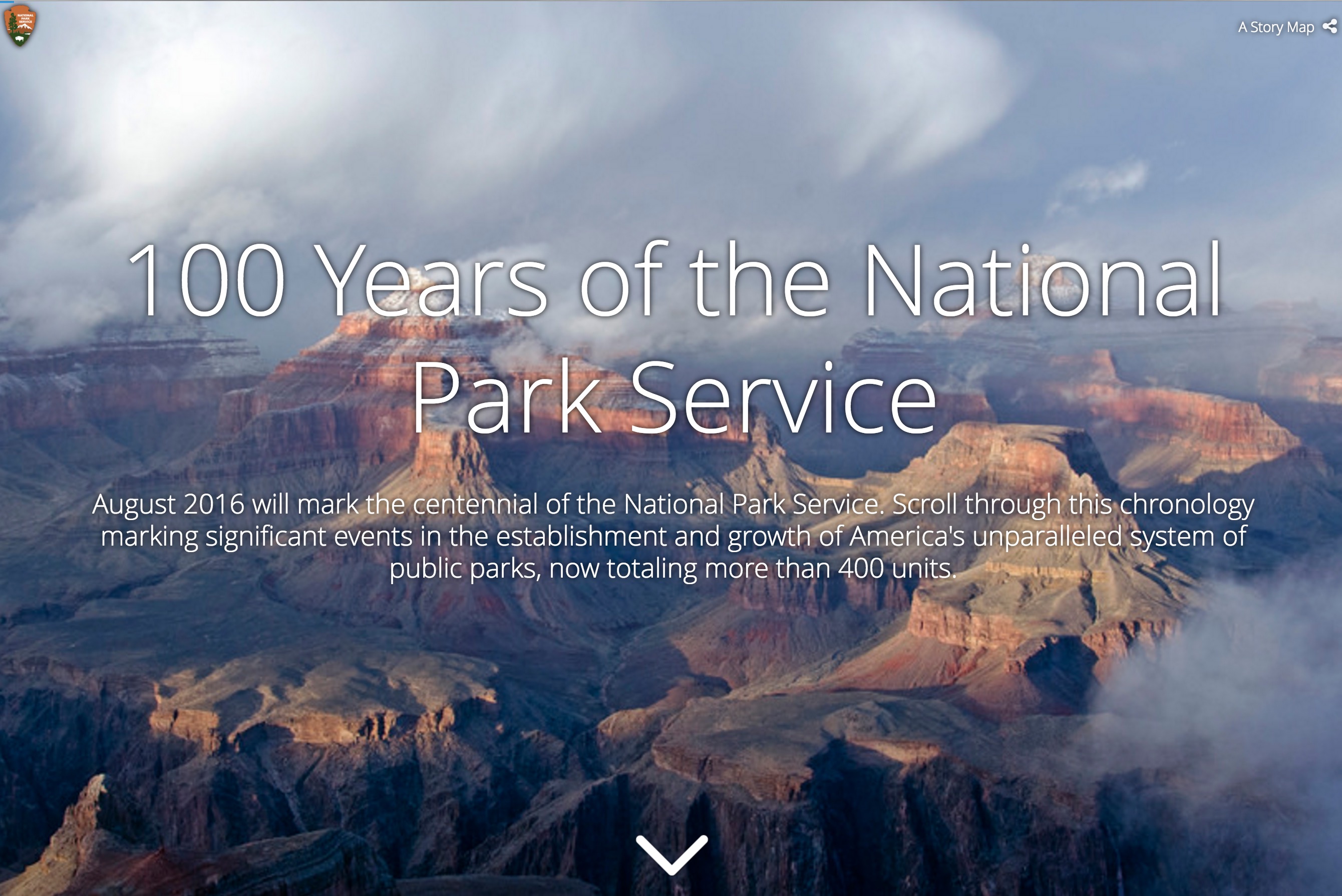
There are a few other section types. The cover introduces your story; it’s what readers first see when they open your story.
Title sections can be used to divide your story into chapters. A title section is thin and shows some text and an image. You can add any number of title sections to your story where ever you need them.
Finally, you can choose to end your story using an optional credits section. The credits have a place for free text and a place to show a list of sources and links.
You can get to know these section types better in this nice “How-To Cascade” story and learn about creating them in this series of posts on using the Story Map Cascade builder.
For a quick run through of the builder features you can also see the Story Map Cascade tutorial on the Story Maps website.


Article Discussion: