Since this post was written, many of the tools in the ArcGIS Online group mentioned below have been added to the core functionality of ArcGIS Pro. To see an updated list of GTFS-related tools, visit this site.
Public transit (like buses and subways) serves the people of a city by providing access to jobs, education, shopping, healthcare, recreation, and more. Traffic congestion, climate change, and the evolving economy and population of cities has created a greater need than ever to understand how well transit is serving these needs.
Want to figure out who is underserved by transit, calculate job accessibility in your city, or identify a good place in an urban area to expand your business so it’s easy to get to? How about viewing a map of areas within a short walk of a transit stop?
To answer these questions, you need transit data and good tools to extract the information you need from that data. The ArcGIS for Public Transit group on ArcGIS Online is the place to start!
The General Transit Feed Specification (GTFS) is the only worldwide standard format for public transit stops, routes, and schedules. The advent of the GTFS standard has opened up a world of new possibilities for analysis of and with public transit data in ArcGIS.
A GTFS dataset consists of a set of simple text files containing information about a transit system’s stops, routes, and schedules. Many transit agencies make their GTFS data publicly available. You can obtain a GTFS dataset directly from your transit agency or download it from one of several sites that collects GTFS datasets from around the world, such as Transitfeeds.
GTFS data contains geographical information, so you can use it to perform powerful spatial analyses and create useful maps in the ArcGIS platform. Determine your service area and the demographics of your riders, measure access to healthcare or other facilities or services, and find out how transit serves, or doesn’t serve, your store or employees.
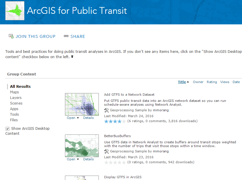
To get started, click here to access a set of toolboxes for using GTFS data in ArcGIS. If you don’t see any content, click the “Show ArcGIS Desktop” checkbox on the left. All toolboxes come with step-by-step instructions and troubleshooting advice.
In a future blog post, we’ll introduce each tool along with some examples of what you can do with it. So start exploring, and stay tuned!


Article Discussion: