We are pleased to announce that the beta version of ArcGIS Earth is now available for download on the Esri Early Adopter site. You may access the beta directly at this link:
By using the beta version, you will be among the first to test-drive our new 3D app and experience how it works.
What Can You Do with ArcGIS Earth
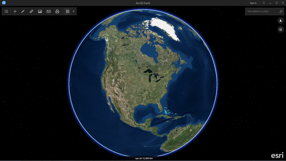
ArcGIS Earth is a lightweight, easy-to-use 64-bit Windows desktop app that enables anyone in your organization to easily view and explore 2D and 3D data including KML and ArcGIS Services, whether behind the firewall or over the Internet.
With the beta version, you will be able to:
Display KML layers and shapefiles in 3D
Earth allows you to add KML and KMZ data including georeferenced Collada files, KML with network links, and many KMLs with features and imagery that are shared out from government websites. You can also add shapefile data. Shapefile workflows are currently limited and will improve with time.
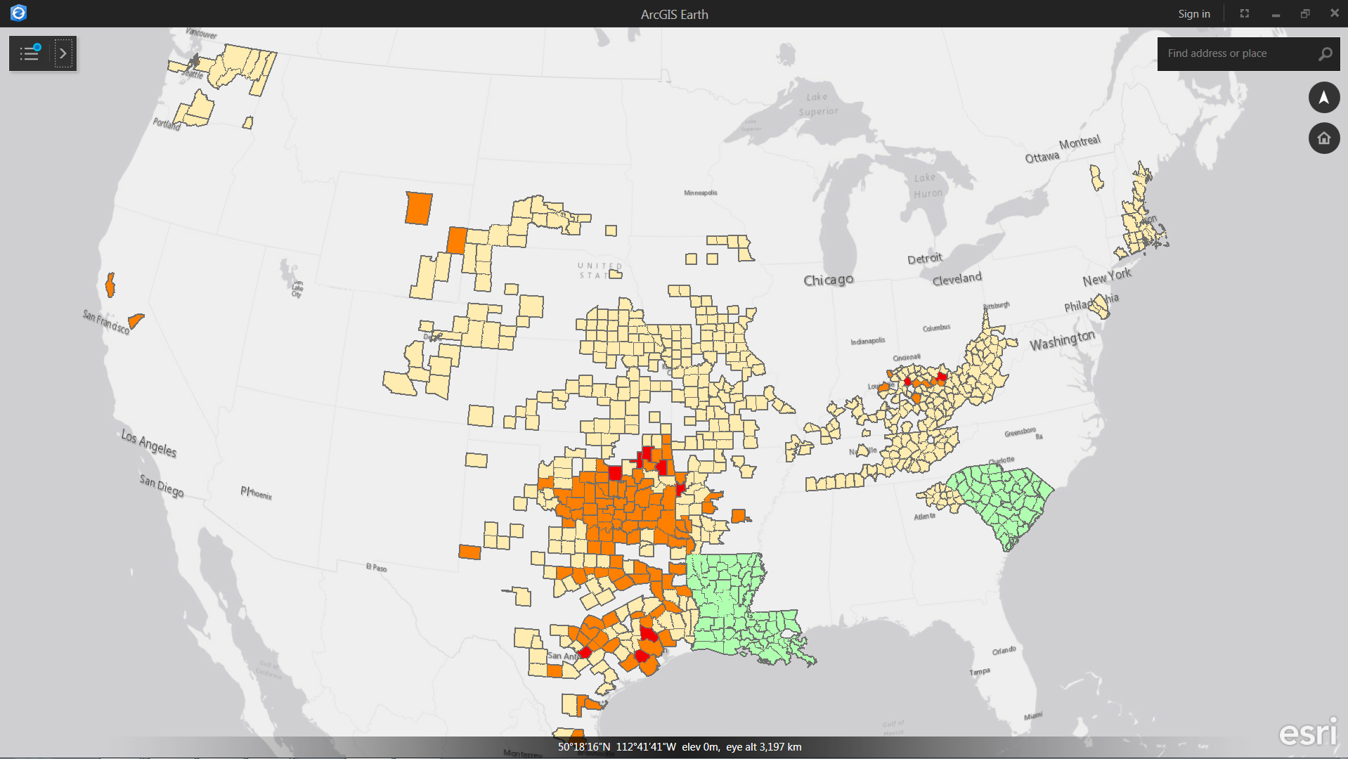
Connect to Esri RESTful services including feature, map, image, and scene services
With Earth, users can access publicly shared feature, scene, map, and image services through URL or by browsing and discovering services in a Portal for ArcGIS or in ArcGIS Online. Users who choose to log in with a Named User account will have access to secured data in Organizations and Groups.
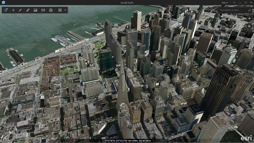
Use Esri basemaps and Living Atlas of the World content
Earth allows users to combine file and services data with Esri’s publicly shared basemaps from ArcGIS Online, including global imagery, topographic maps, world ocean maps, and OpenStreetMap. Earth also can access and display content from the Living Atlas of the World including demographic, landscape, terrain, and transportation data. Some Named Users may also have access to premium content. For example, many Netherlands customers have access to a large collection of regional content that is shared exclusively with them by Esri Netherlands. Those customers will be able to access privately shared data by entering their ArcGIS login.
Save the view as an image and share it with others via email
Our goal is to allow enable ArcGIS Earth users to quickly share data and collaborate with other users. In the first release and the beta, users will be able to easily save and email screenshots to colleagues. In the future we will be looking at more advanced sharing capability.
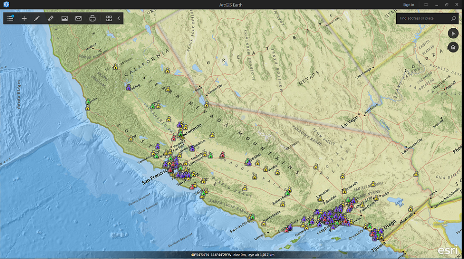
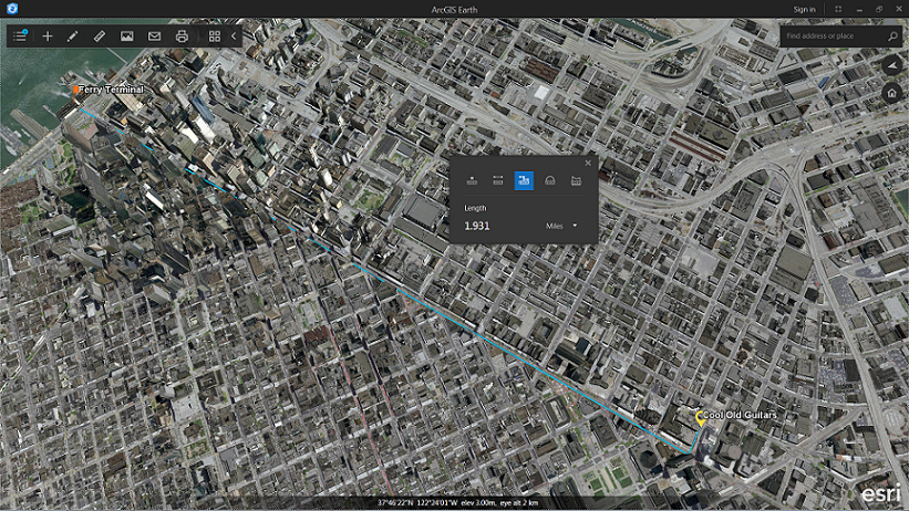
Measure, create placemarks and simple geometry, and more
Earth enables basic linear, radial, and segmented distance measurements. Users are asked to experiment with the simple workflow to create basic annotation geometries to capture and convey information. We look forward to hearing from our users about what other essential capability will be needed in Earth as we grow the product.
Overall, you may find the Earth experience to be more like a website or mobile app than a traditional desktop GIS. With Earth, we are trying to focus on immediacy and immersiveness. You can double-click KML attachments in email to open ArcGIS Earth and immediately visualize the KML data. You can drag and drop shapefiles from a shared network drive into the ArcGIS Earth view and Earth will open them and add them to the globe and the table of contents. The user interface has been intentionally minimized for users to have the maximum view of their data.
Room to grow
As this is the first beta of a brand new app, there will be plenty of room for future improvement and we have a roadmap that will keep us working for years to come. Some known areas where we will be improving the app between now and launch in December include improving the table of contents experience, focusing on stability, and enabling the app to better handle WGS84 tiled data (the globe is already a ‘WGS84 globe’). We also plan to handle additional GIS data types, including more OGC capability, and we’ll be looking at how best to allow users to share data from the app. Currently, the user’s table of contents, including drawing elements, cannot be saved, but that is planned for 1.0.
We don’t expect to release an API for Earth immediately, though we welcome API requirement requests. Earth is built on top of the ArcGIS Runtime SDK for .NET, so some users who need a custom app do have the ability to build a 3D app for themselves.
Earth is not planned to be run as an embedded plug-in in a web browser. For browser-based experiences, we currently support CityEngine web scenes, the new web scene viewer in Portal for ArcGIS Server and ArcGIS Online that supports scalable scene services, and the 4.0 JavaScript API (currently in beta) that allows users to embed custom 3D WebGL experiences in their web apps.
Give Us Your Feedback and Help Shape ArcGIS Earth
The reason to share ArcGIS Earth in beta form is specifically to listen to feedback from our users. We have set up forums on the Early Adopter site where you can submit issues, examples, and requests. We can act more easily on detailed issues and requests, especially when they include images and data samples. We encourage feedback as early as possible to help us improve the user experience, validate features, and discover requirements that would make the app work better for all of our users.
When considering the Earth experience, we would love feedback on some of these areas specifically:
- How do you like the overall look and feel?
- How well does Earth work with your KML, Esri REST services, or other enterprise data?
- What works or doesn’t work about the drawing and measurement tools?
- What do you want your Earth experience to be like each time you launch it?
- What are the nuances of administering and configuring Earth that will make it work better for your users or organization?
After the beta, we are actively working on the initial production release of Earth, planned for December 2015. Input from customers and users will be actively used to drive the prioritization of issues and improvements in our product development road map.
We intend to keep ArcGIS Earth as a free app that works with and extends the ArcGIS platform. The feedback that we get about how Earth is being used both as a standalone experience and even behind a firewall with secure enterprise data will help us to actively improve Earth and the entire ArcGIS platform experience.
We invite you to try ArcGIS Earth and to provide feedback to help us improve its capabilities and to make it a great experience for anyone to share and explore GIS data.
The ArcGIS Earth beta is public, however to download and provide feedback users will need to register for an account. We invite anyone who is interested in exploring GIS data in the context of the globe to try it out. We also love to hear from you on social media. Refer to @ArcGISEarth or #ArcGISEarth on twitter.
KML and data in this post are credited to FEMA, NOAA, Pictometry, and CA.gov.


Article Discussion: