Governments and organizations have been hard at work creating Open Data sites to make their authoritative data accessible, discoverable, explorable, and collaborative. There are over 32,000 datasets in the Open Data catalog and over 100 sites in the ArcGIS Open Data site gallery for you to explore! The Site of the Week is a series that profiles one ArcGIS Open Data site each week.
—
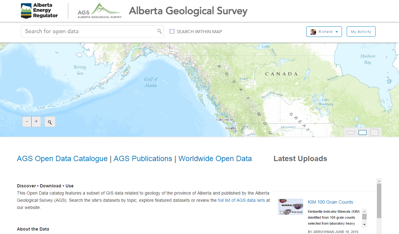
Site of the Week: Alberta Geological Survey, Canada
This time we head to the province of Alberta, Canada. The Alberta Geological Survey is using ArcGIS Open Data to share GIS data about the geology of Alberta. They are using the ArcGIS Open Data site to augment their long time open data repository at www.ags.gov.ab.ca, where they have more than 1,000 datasets available in .zip archives.
Supporting ArcGIS Online Activities
Alberta Geological Survey recently released the Alberta Interactive Minerals Map (AIMM) web mapping application, which is a joint project between Alberta Geological Survey and Alberta Energy.
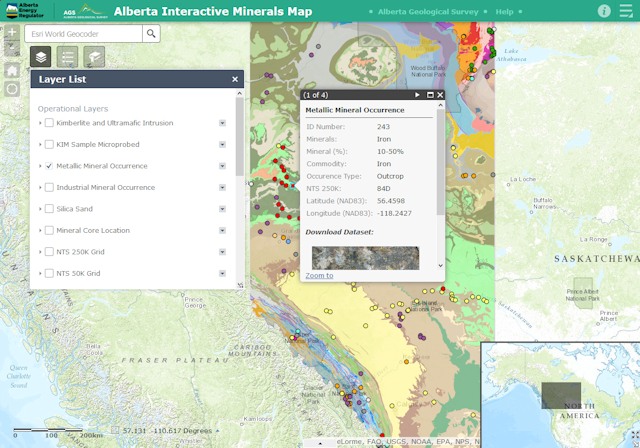
The AIMM web mapping application provides the government of Alberta, general public, and industry with an interactive tool for exploring, discovering and downloading mineral data. All features on the map have a pop-up window, which includes a link to the corresponding dataset on ArcGIS Open Data.
“ArcGIS Open Data is an excellent opportunity to provide the public with interactive options for querying and downloading our open data,” says Rastislav Elgr, GIS Specialist for the Alberta Geological Survey. “The public can query and view the spatial distribution of the mineral samples prior to downloading the datasets in a variety of available formats.”
This is only the beginning. The Alberta Geological Survey is exploring opportunities to include their most frequently requested datasets on the ArcGIS Open Data site.
—
Stay tuned for our next ArcGIS Open Data Site of the Week. In the meantime, check out the interactive Open Data is All Over the World web map to explore more awesome open data sites, including all those featured as a Site of the Week. Get started with making your own ArcGIS Open Data site here.


Article Discussion: