
Most Recent in ArcGIS Blog
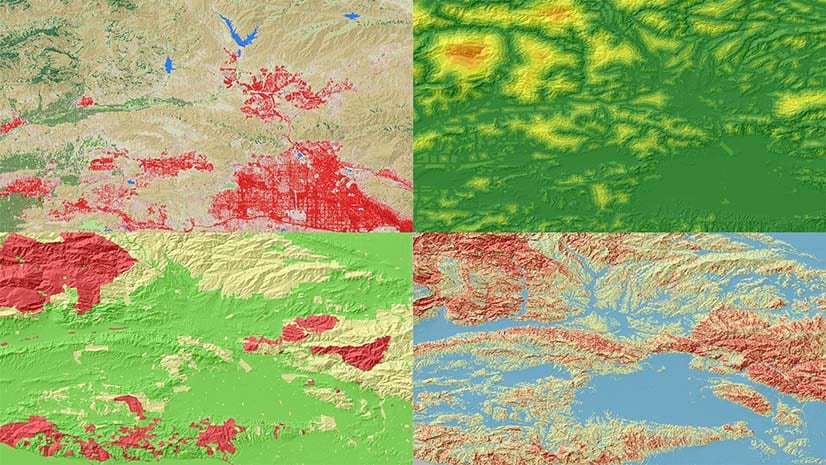
Getting to Know the Geoprocessing Synthetic Aperture Radar Toolset
Article will answer questions such as What processing tools are available in the ArcGIS Pro SAR Toolset?, Why do we need it?, How it works?
Designing and testing for accessibility in GIS and mapping
Jessica McCall | Mapping | May 16, 2024
Review best practices for designing and testing for accessibility maps and apps throughout the ArcGIS system during the development process.
Most Recent in ArcGIS Blog
Elizabeth Ashley Menezes | ArcGIS Pro | May 17, 2024
Article will answer questions such as What processing tools are available in the ArcGIS Pro SAR Toolset?, Why do we need it?, How it works?

Kenneth Field | ArcGIS Pro | May 16, 2024
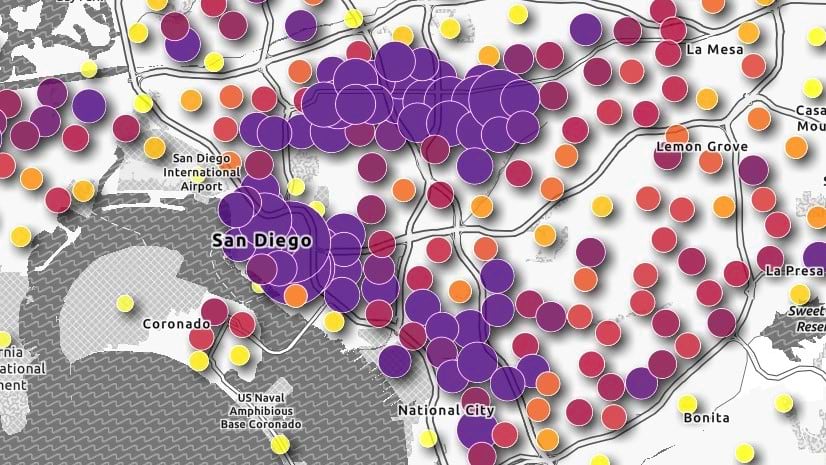
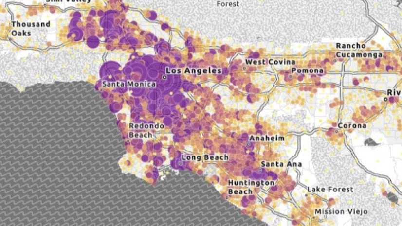
A modern take on the London tube map with updated accessible colours, a re-classification of lines by type, and line symbols scaled by frequency
Multiple Authors | ArcGIS Instant Apps | May 16, 2024
Utilize practical guidance that can be applied to any ArcGIS application to ensure that maps and apps are accessible to all users.
Jessica McCall | ArcGIS | May 16, 2024
Review best practices for designing and testing for accessibility maps and apps throughout the ArcGIS system during the development process.

Lara Winegar | ArcGIS StoryMaps | May 16, 2024
FInd out how to create accessible web content using ArcGIS StoryMaps.
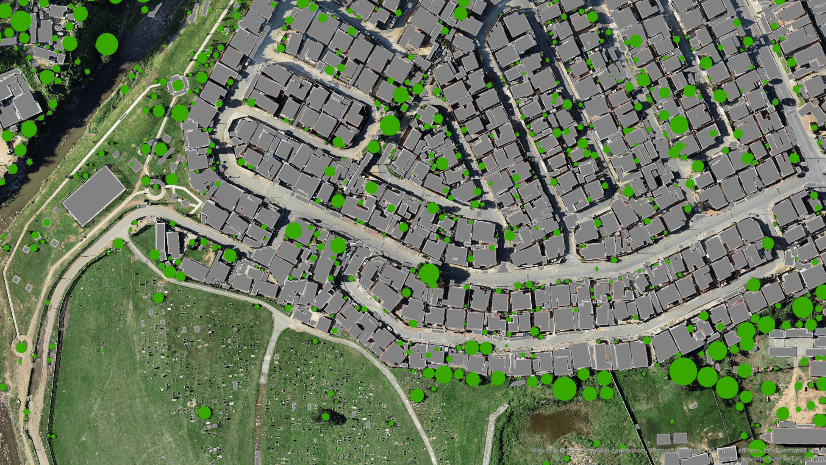
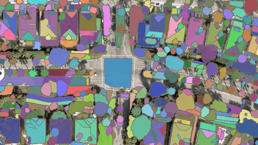
Multiple Authors | ArcGIS Pro | May 16, 2024
This blog post will walk you through the process of running multi resolution deep learning over a range of cell sizes.

Josue Aguirre | ArcGIS Pro | May 15, 2024
At ArcGIS Pro 3.3, the ArcGIS Defense Mapping extension has undergone various enhancements.

Owen Evans | ArcGIS StoryMaps | May 15, 2024
ArcGIS StoryMaps celebrates a milestone release this month while briefings gains the ability to add tables, share code, and more.

Multiple Authors | ArcGIS Pro | May 14, 2024
Prompt Segment Anything Model (SAM) with free form text to extract features in your imagery
Multiple Authors | ArcGIS Pro | May 14, 2024
Learn about our SAM pretrained deep learning model available in ArcGIS Living Atlas of the World.

Amy Niessen | Developers | May 14, 2024
Explore key GIS developments at UC 2024 with our guide: sessions, Developer Day, and networking for developers.

Jennifer Wrightsell-Hughes | ArcGIS Online | May 14, 2024
Learn how to change the projection of a map in ArcGIS Online Map Viewer by changing the projection of the basemap.
Juan Laguna | ArcGIS Pro | May 13, 2024
Spatial Analyst in ArcGIS Pro 3.3 offers new capabilities for suitability modeling, as well as density, distance, solar, and zonal analysis.

Andria Olson | ArcGIS StoryMaps | May 13, 2024
Three new technologies make it easier than ever to include scanned historical maps in ArcGIS StoryMaps. Learn how with walk-through videos.

Mark Gilbert | ArcGIS Living Atlas | May 13, 2024
Announcing 18 new ready-to-use layers to help you build a climate resilient community.

Robert Krisher | ArcGIS Utility Network | May 13, 2024
Learn the key concepts and terminology needed to understand how to manage stormwater data using the ArcGIS Utility Network
Multiple Authors | ArcGIS Data Reviewer | May 13, 2024
Explore the Q&A of our recent "Improving Data Quality in Your Authoritative Address Repository" webinar.

Multiple Authors | ArcGIS Enterprise | May 13, 2024
Learn about Amit Rishi's journey to GIS and the amazing work RMSI does for customers.
Multiple Authors | ArcGIS Business Analyst | May 10, 2024
With the June 2024 data release, there are boundary changes to a few U.S. geography types used in ArcGIS Business Analyst Web App.

Multiple Authors | ArcGIS Field Maps | May 10, 2024
Q&A from the Maximize field efficiecy with Field Maps webinar.
Chris Wesson | ArcGIS Pro | May 9, 2024
Cartographic finishing for polygon marker symbol layers with the new Convert marker placement to points tool.

Stephen Kredel | ArcGIS AllSource | May 9, 2024
ArcGIS AllSource 1.2 has released and with it comes Simplified Feature Creation, Military Overlay, and ArcGIS Video Server connectivity.
Hong Xu | ArcGIS Pro | May 9, 2024
Learn how to explore, manage, and analyze EMIT hyperspectral imagery using ArcGIS Pro.

Tanner Yould | Developers | May 9, 2024
ArcGIS Maps SDK for Native Apps version 200.4 adds support for 3D Tiles layers!
Heather Smith | ArcGIS Online | May 9, 2024
Watch this short video to learn how to choose color schemes that work well with light or dark basemaps.

Multiple Authors | ArcGIS Pro | May 9, 2024
What's new for GeoAI in the Image Analyst extension of ArcGIS Pro 3.3