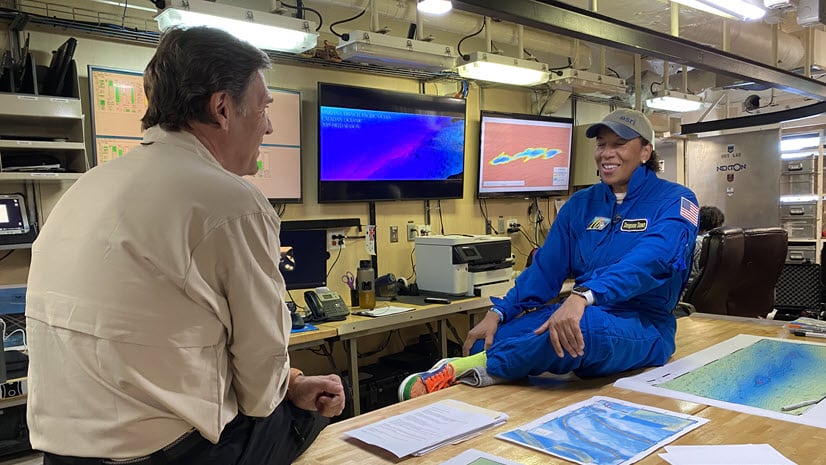
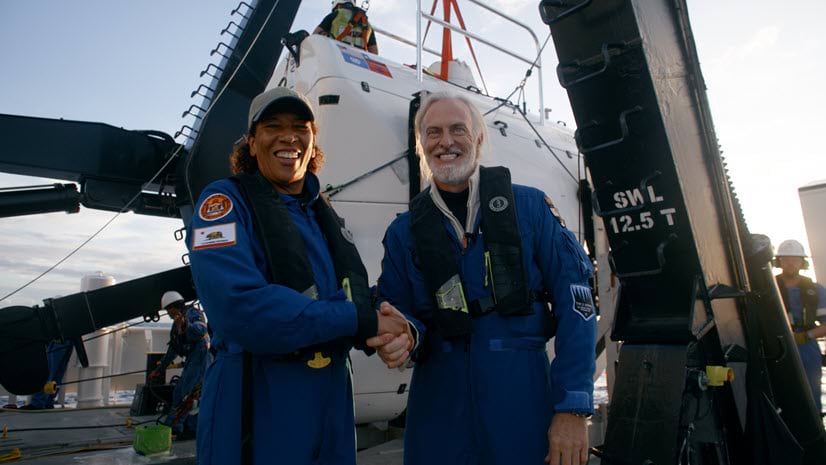
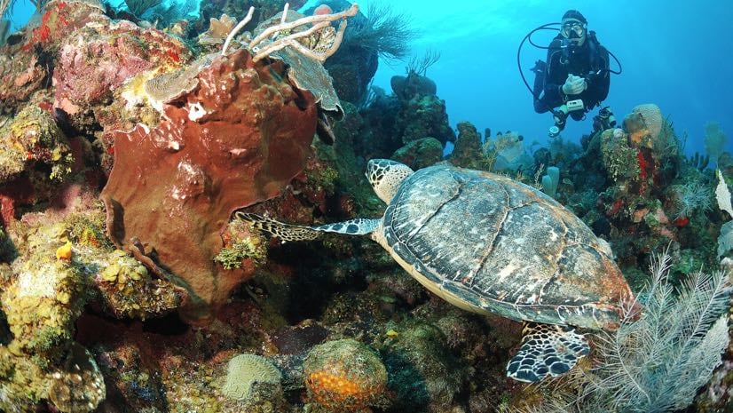
Author Archives: Dawn Wright
Recent Posts
Bridging the Gap Between Scientists and Policy Makers: Whither Geospatial?
“We, the people, still believe that our obligations as Americans are not just to ourselves, but to all posterity. We will respond to the threat of climate change, knowing that the failure to do so would betray our children and future generations. Some may still deny the overwhelming judgment of science, but none can avoid the devastating impact of raging fires, and crippling drought, and more powerful storms.”
Thus spoke President Barack Obama in his 2nd inaugural address, to the delight of many, if not most in the scientific community. Indeed, there are many societal problems across the world that increasingly revolve around science. These include pollution and waste management, pandemics and biosecurity, access to clean air and clean drinking water, response to and recovery from natural disasters, choices among energy resources (oil and gas versus nuclear versus “alternative”), and the loss of open space in urban areas, as well as biodiversity in rural areas. And yet, there is a tension between the world of science, which is focused on discovery, and the world of policy making, which is focused on decisions.
Esri Convenes Historic Oceans Summit
This past week (November 7-8, 2012), we held the first and only Esri Oceans Summit at Esri headquarters in Redlands. This was an invitation-only, high-level strategy workshop attended by intermediate to advanced ocean GIS analysts and developers, including many long-time users of Esri software. It was also an important deliverable of our new Oceans GIS Initiative.
More than 50 attendees triumphed over agency travel restrictions, budget cuts, busy schedules, the aftermath of Hurricane Sandy, and other obstacles in order to be here with us at their own expense. They came ready to discuss with more than 40 Esri employees the various GIS functional requirements for ocean science, justification for and validation of such approaches, use cases, and the like. One major goal was for Esri to listen carefully to these attendees in order to help us move forward in our thinking about our approaches and our products to better serve ocean science and resource management. Esri employees came from all parts of the organization: Industry Solutions/Marketing, Core Development, Sales, Professional Services, and more.
Continue reading
Big Data, GIS, and the Academic Community
Researchers today need to deal with an avalanche of data—from environmental sensor networks (both on land and at sea), social media feeds, LiDAR, and outputs from global- and regional-scale atmospheric circulation and general climate models and simulations. Because of this, “big data” is emerging as a major research theme for the academic community.
I recently had the opportunity to attend GIScience 2012, which is convened every two years and brings together leading researchers from around the world to reflect on a wide spectrum of geographic information science research areas. Attendees are normally university academics and graduate students working in the areas of geography, computer science, information science, cognitive science, mathematics, philosophy, psychology, social science, environmental sciences, and spatial statistics.
Continue reading
Esri’s Ocean GIS Initiative
On a planet where 71 percent of the surface is covered by water, the oceans are critical for life itself. They feed us, regulate our weather patterns, provide over half of the oxygen that we breathe, and provide for our energy and economy. Yet only 5 to 10 percent of the ocean floor and of the waters beneath the surface have been explored and mapped in a level of detail similar to what already exists for the dark side of the Moon, for Mars, and for Venus.
GIS technology, which has long provided effective solutions to the integration, visualization, and analysis of information about land, is now being similarly applied to oceans. Our ability to measure change in the oceans (including open ocean, nearshore, and coast) is increasing, not only because of improved measuring devices and scientific techniques, but also because new GIS technology is aiding us in better understanding this dynamic environment. This domain has progressed from applications that merely collect and display data to complex simulation, modeling, and the development of new research methods and concepts.
Continue reading
Meeting a Titanic Challenge for Oceans
What have we learned after 100 years?
On April 15, 1912, more than 1,500 passengers and crew aboard the RMS Titanic perished at sea in one of the most infamous maritime disasters in all of human history. She was the largest ship afloat at the time, but the location of her wreckage remained a mystery until 1985. Many have seen similarities between the sinking of Titanic and the struggles of the gigantic cruise ship Costa Concordia, which ran aground off the coast of Italy almost 100 years later. Continue reading