Featured Article
Multiple Authors | Apr 17, 2024
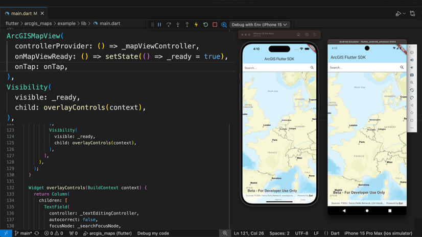
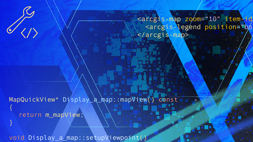
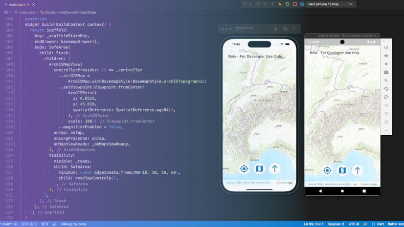
We are excited to announce the new ArcGIS Maps SDK for Flutter beta is now available!

Multiple Authors | April 24, 2024
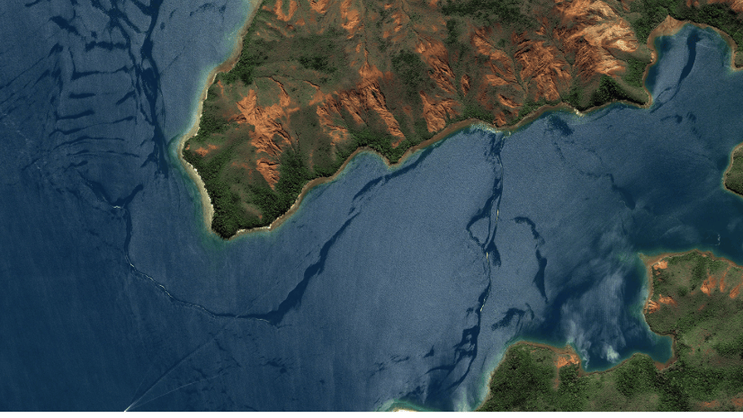
A Developer approach to imagery.
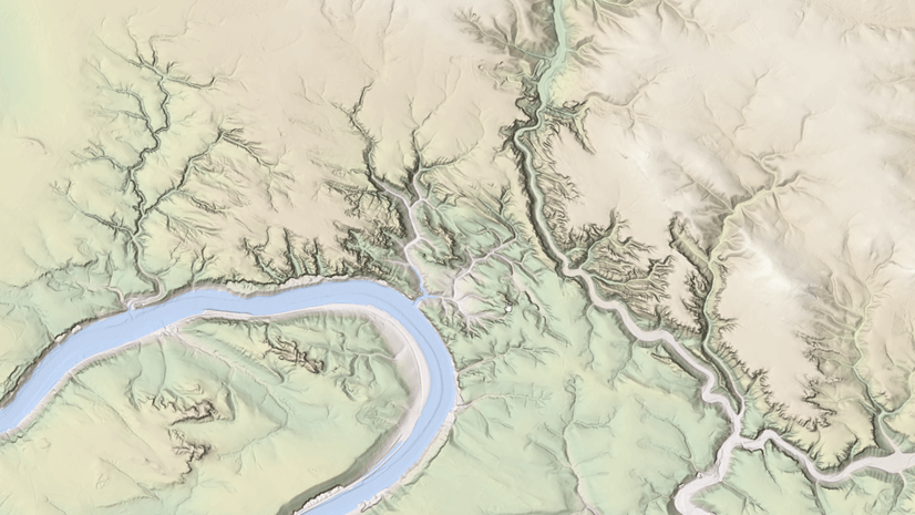
Rajinder Nagi | April 11, 2024
In April 2024, elevation layers have been updated with high-res datasets of Wales, New Zealand & German states of Bavaria, Saxony and Brandenburg

Multiple Authors | April 11, 2024
Version 200.4 of the ArcGIS Maps SDKs for Native Apps includes support for feature forms, snapping, OGC 3D Tiles, and more!

Multiple Authors | April 11, 2024
ArcGIS Maps SDK 1.5 for Unreal Engine adds support for Esri's global OSM 3D Buildings layer, group layers, and more!
Multiple Authors | April 11, 2024
ArcGIS Maps SDK 1.5 for Unity adds support for Esri's global OSM 3D Buildings layer, group layers, and more!

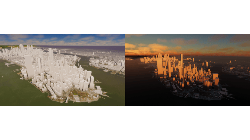
Raluca Nicola | April 10, 2024
A small hack for adding a watercolor basemap to a 3D city visualization
Multiple Authors | April 2, 2024
Discover the latest data updates, bug fixes, and quality improvements made to the ArcGIS Geocoding Service.

Multiple Authors | March 14, 2024
ArcGIS Places March 2024 release highlights

Multiple Authors | March 13, 2024
The ArcGIS Well-Architected Framework and Architecture Center provides guidance for implementing systems with ArcGIS.

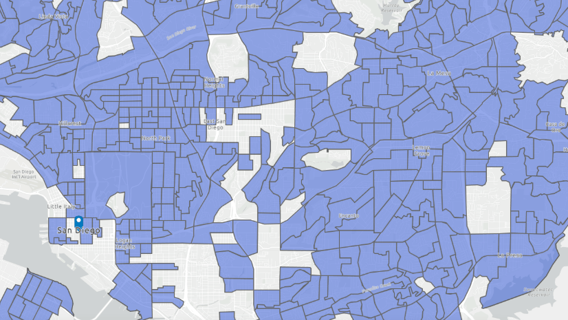
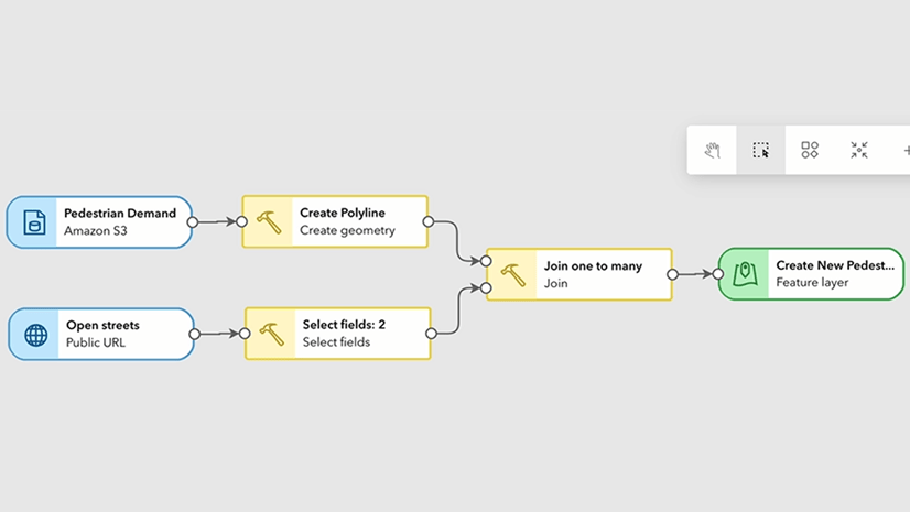
Simon Suo | March 11, 2024
With the create task resource in the sharing API of your ArcGIS Enterprise, you can schedule a geoprocessing service based task to run regularly.

Multiple Authors | March 11, 2024
Manushi Majumdar shows five ways administrators can use ArcGIS API for Python to monitor and manage their ArcGIS Online organization.
Multiple Authors | March 11, 2024
ArcGIS Data Pipelines is a new ArcGIS Online application that allows you to access, process, and integrate data from a wide variety of sources.
Multiple Authors | March 11, 2024
A new R package created by the R-ArcGIS Bridge team enables integration with ArcGIS location services.

Stefan Eilemann | March 8, 2024
Introducing SaGIS: A Scalable GIS Renderer for the 3D ArcGIS Maps SDK for JavaScript.

Multiple Authors | March 6, 2024
Join us at the 2024 Developer Summit to learn about using Game Engine Maps SDKs to build immersive apps.

Multiple Authors | March 6, 2024
Join us at DevSummit 2024 to learn all about building apps with the Native Maps SDKs.

Multiple Authors | March 6, 2024
The ArcGIS Maps SDK for Java is being deprecated, with its final release scheduled for November 2024 in the form of Version 200.6.

Multiple Authors | March 6, 2024
Learn about events and workshops featuring R at the 2024 Esri Developer Summit.
Multiple Authors | March 4, 2024
Explore some of the latest updates to Calcite Design System, including new components and improvements to help you build a user-friendly UI/UX.

Multiple Authors | March 4, 2024
How to make the most out of your week at 2024 Esri Developer Summit? This is a guide for web developers to navigate the event.
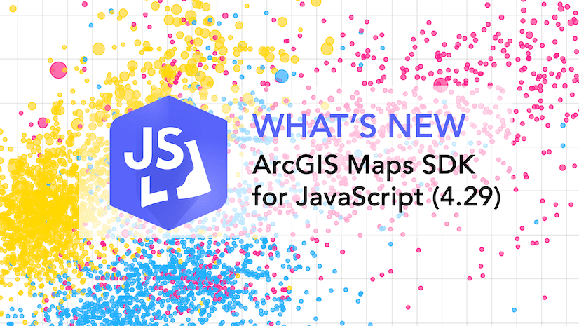
Multiple Authors | February 26, 2024
The latest release of the JavaScript Maps SDK introduces charts components, editing constraints, 3D Tiles, better performance, and lots more.
Multiple Authors | February 8, 2024
Enhance your basemaps with two exciting new features of the ArcGIS Basemap Styles service (v2)
Multiple Authors | January 30, 2024
Explore key GIS developments at FedGIS 2024 with our guide: top sessions, expert insights, and networking for developers in the federal sphere.
Multiple Authors | January 22, 2024
We’re excited to share the key timings and events about the upcoming ArcGIS Maps SDK for Flutter Maps beta release!
Multiple Authors | January 11, 2024
Discover the latest functionality and enhancements in the ArcGIS GeoAnalytics Engine 1.3 release.