Molly Zurn (she/her) leads Product Engineering writing at Esri. She helps ArcGIS users apply modern GIS best practices and approaches. Outside of work Molly loves to ski, run, and hang out with her family and dogs.
Molly Zurn (she/her) leads Product Engineering writing at Esri. She helps ArcGIS users apply modern GIS best practices and approaches. Outside of work Molly loves to ski, run, and hang out with her family and dogs.
Create a map in ArcGIS for Excel that combines your Excel spreadsheet with data from ArcGIS Living Atlas of the World.
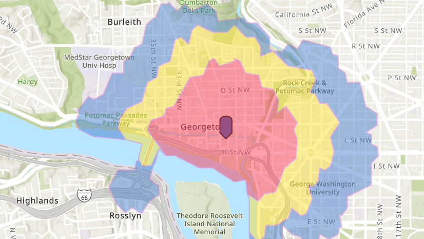
Walk-time maps show where pedestrians can travel in a certain amount of time. Learn how to make a walk-time map with ArcGIS Online.
Learn how to add a spreadsheet to ArcGIS Online and publish it as a hosted feature layer.
With a few quick edits to an Esri vector basemap, you can personalize your map with custom colors, text, and more. Learn how.
Commenting is now available in ArcGIS Blog. Here’s what you need to know to join the discussion.
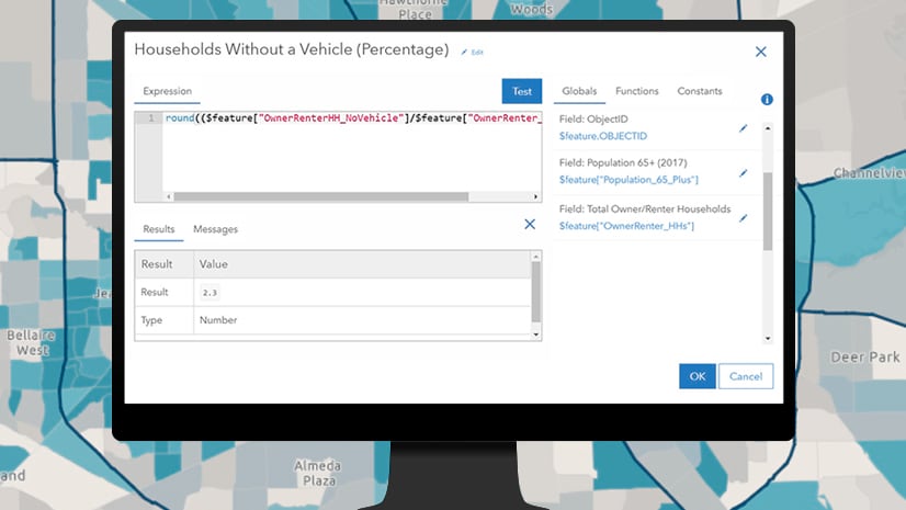
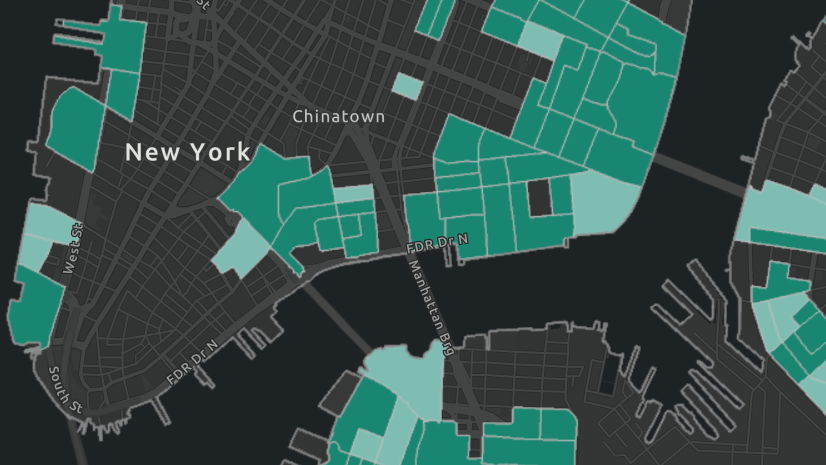
Write basic calculations with Arcade to determine areas with low vehicle ownership.
Learn essential tasks and best practices for setting up ArcGIS Online.
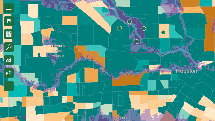
Market opportunity maps show where demand exceeds supply. Using ArcGIS Online and Living Atlas, you can create your own market opportunity map.
ArcGIS has new resources that show you how mapping and analysis can help solve specific location-based problems. Here are some of our favorites.