Chris Andrews
Connect:

Chris Andrews is an experienced product management and technology leader who enjoys solving real world problems, establishing high performance teams, and connecting people and businesses in positive collaborations. Chris started off at Esri as the senior product manager for 3D across the ArcGIS platform, based in Southern California. Chris now leads a team of product managers with responsibility for ArcGIS Hub, ArcGIS Excalibur, 3D, ArcGIS Urban, AEC/CAD/BIM offerings, ArcGIS Business Analyst and more. Before Esri, Chris was the lead product manager for Autodesk’s Infrastructure Modeler (now InfraWorks) and Digital Cities efforts and was previously in the enterprise integration industry focused on CAD-GIS integration. Chris has focused on strategic innovation, defining and driving to production new products at top tier software companies. He is active on social media and provides mentoring on 3D, product management, and technical career growth.

Posts by this author
ArcGIS: A Foundation for Digital Twins

GIS enables successful Digital Twins, virtual representations of the real world that include objects, processes, relationships, and behaviors.

Continue Reading

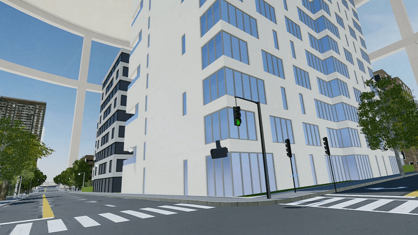
Gamification in GIS and AEC

GIS data, gamification, and game engine technologies will drive new experiences for analysis, visualization, and simulation in real world context

Continue Reading

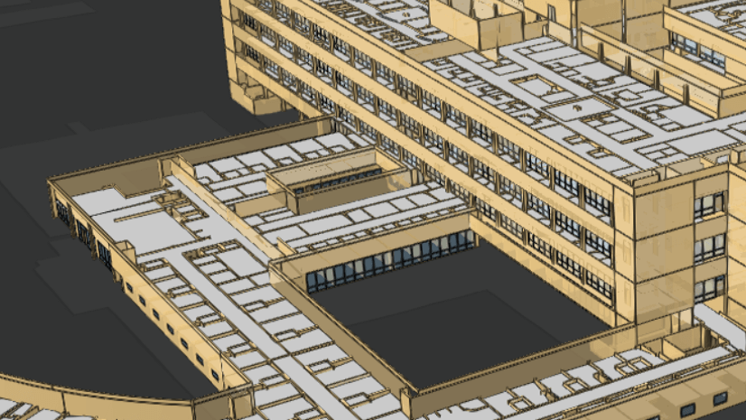
Common Patterns for BIM and GIS Integration

Organizations use multiple patterns of integrating GIS and BIM data to bring together context, design, and construction.

Continue Reading

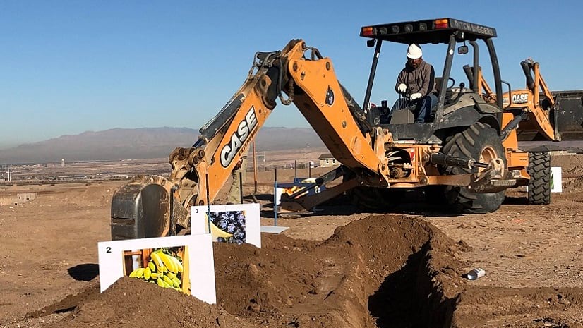
Augmented Reality and GIS working together to build your home

Augmented Reality and GIS are brought together by Argis Solutions to help make home construction more accurate

Continue Reading

Advancing open 3D: New layer types and capability in I3S

The I3S open standard specification has advanced based upon input from customers and now includes new layers for point clouds and BIM buildings.

Continue Reading

5 Myths and 5 Realities of BIM-GIS Integration

Technology advancement is changing the opportunity for BIM-GIS integration from replacing paper processes to full digitalization.

Continue Reading

3D things to look for at the 2018 User Conference

Take a look at some of the highlights for 3D at the 2018 Esri International User Conference!

Continue Reading

Graphic Complexity Index: A descriptor for 3D models in GIS

Not all 3D content is created equal. Graphics complexity can impact the visual quality, performance, and analytics of your features.

Continue Reading

3D at Esri: 2016 in Review

In 2015, the team at Esri started to roll out 3D capability across the ArcGIS platform. That effort laid the groundwork for an incredible...

Continue Reading

1 2 3