The static blue lines you see on a map don’t tell us much about what those rivers really look like on the ground. Flash floods kill more people each year than tornados, hurricanes, and lightning combined, while drought devastates entire landscapes, sucking lakes and rivers dry. In order to provide you with the latest information on river conditions, Esri is collaborating with our business partners and user community on a map of real-time stream gauges.
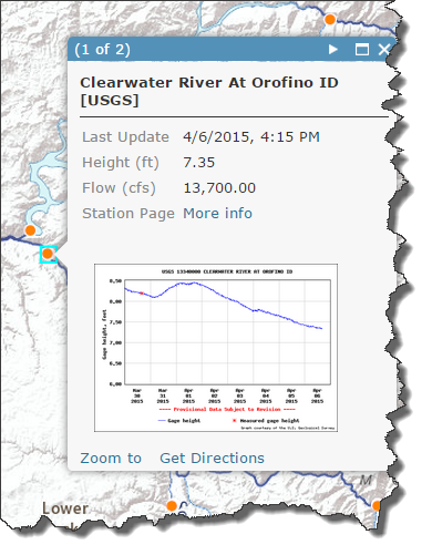
This map uses ArcGIS for Server’s GeoEvent Extention to parse live telemetry from stream gauges and update the values in the map every hour. Forecasts are included as well where available, as are links to the gauges’ historical time series.
This map is part of the Community Maps Program, and the response from our user community has been excellent. The product is in Beta for now, and we are actively seeking more contributors for the official release. If you have gauges that share their readings through web services, please consider contributing to the map and email us at streamgages@esri.com.


Commenting is not enabled for this article.