We are pleased to announce that the new 2010 U.S. Census datasets with their new geometry and attributes are now available as layer packages on ArcGIS.com. Block Group, Tract, County, and State are all represented as polygons with over 40 attribute fields containing population totals by age and race, along with family and household information. Census Blocks are represented as points with total population and household information.
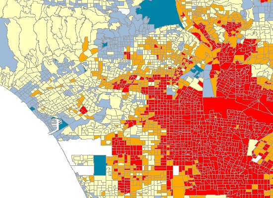
Average family size by Block Group
Visit the Esri Data & Maps United States Census page on the ArcGIS Content Resource Center for a list of all the census layers available for download on ArcGIS.com.
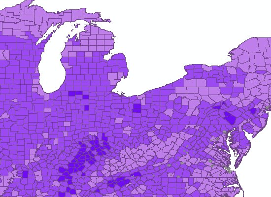
Farm density by County
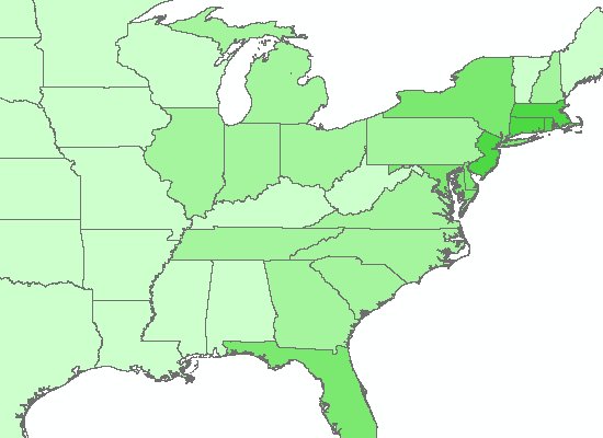
Population density by State
Median age by Tract
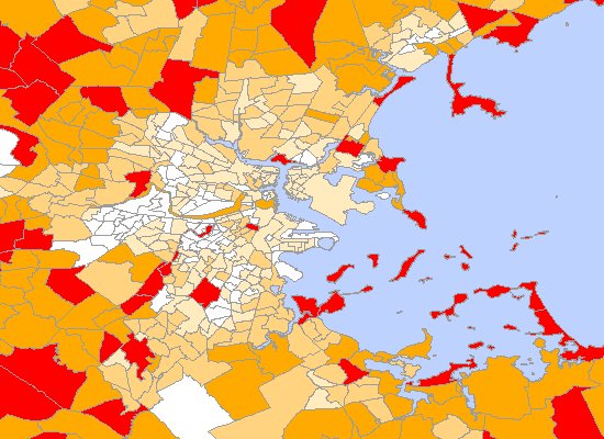
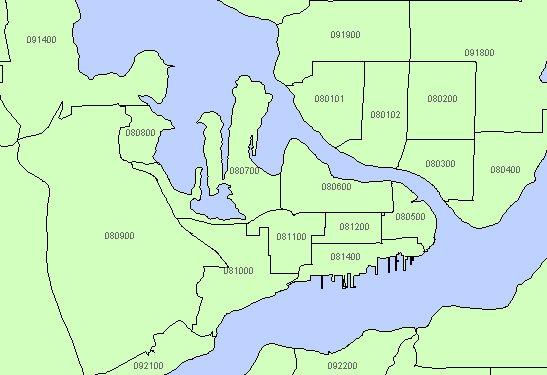
Tracts with FIPS ID
You can download a collection of layer packages through the Esri Data & Maps Group on ArcGIS.com.
If you have other feedback or comments, please post them to the ArcGIS Online forum.
Contributed by James Shimota

Commenting is not enabled for this article.