By Aileen Buckley, Mapping Center Lead
When working with polygon data, it is common to symbolize these features with a colored fill and an outline (figure 1). However, if you are trying to create a realistic impression on your map, this symbology works against you. In the real world, we rarely see lines around areas, and the inside of those areas is rarely the same color everywhere.
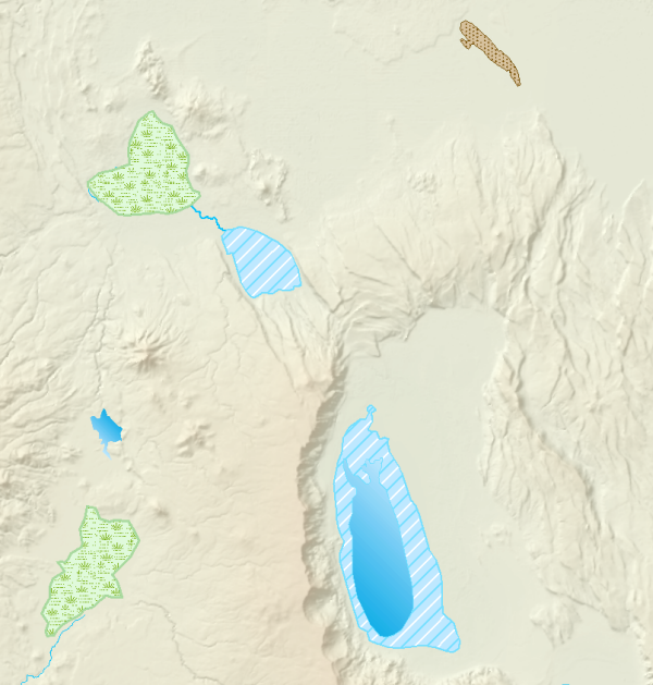
Figure 1. Commonly used polygon fills with outlines, solid fills, and regularly placed interior patterns do not add a realistic appearance to a map.
To add realism to polygon features, here are three tricks you can use (figure 2):
- Remove the lines from your symbols.
- Add variation to the fill through graduated colors and/or random interior patterns.
- Don’t clip marker symbols inside the fill along the edges of the polygon.
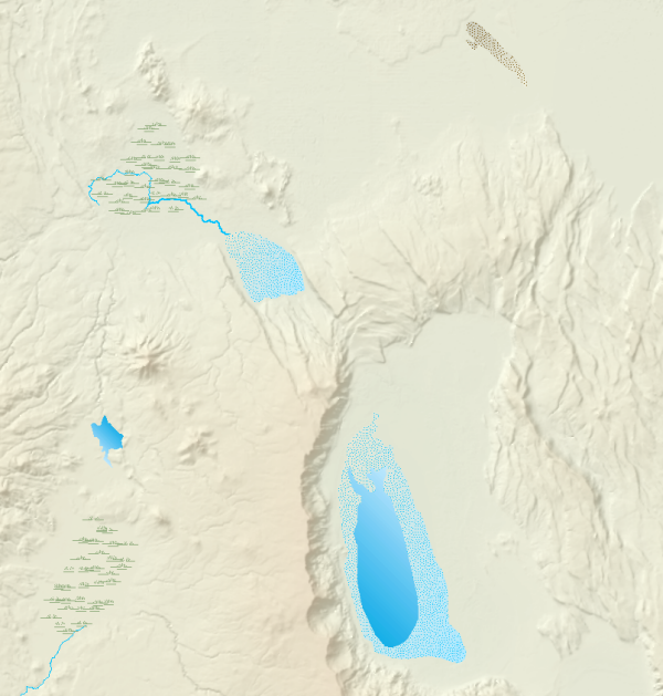
Figure 2. To add a realistic appearance to a map, remove outlines, vary fill colors, use random patterns within fills, and do not clip marker fill symbols at polygon edges.
You saw an example of adding variation to a polygon symbol using gradient fills in our sun glints example. That is a great solution, but in our next two blog entries, you will see how to use picture and marker fill symbols to add variation as well. You will also see how you can use cartographic representations to create fill symbols that do not clip at the edges of the polygons.
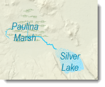
This example is a map of southwestern Oregon in the Crater Lake area (figure 3). On this map, there are a variety of features to experiment with, including dry lakes, intermittent lakes and swamps/marshes.
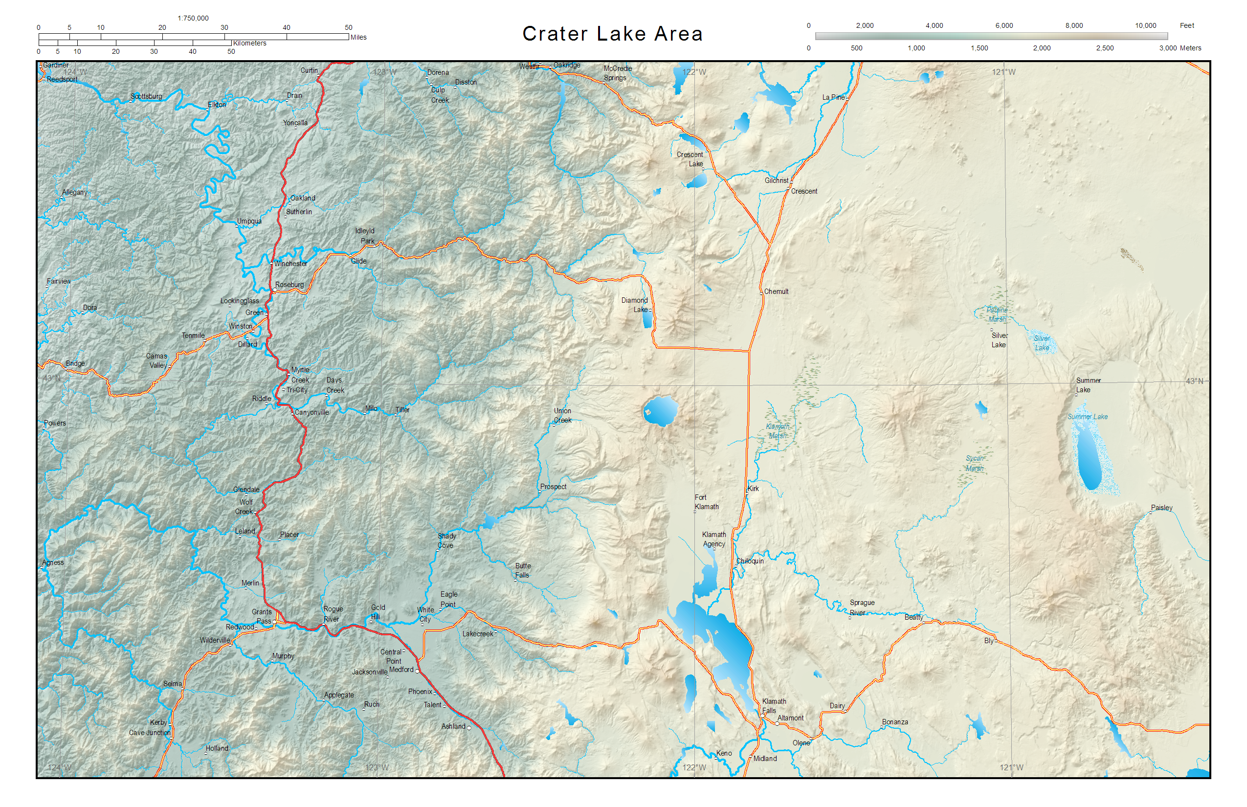
Figure 3. The Crater Lake area map
In the next blog entry, you will see how to symbolize the lakes using picture fill symbols. In the blog entry after that, you will see how to use marker fill symbols to symbolize the marshes.
Thanks to David Barnes, Cartographic Product Engineer, for his Crater Lake area map.


Article Discussion: